It doesn't matter, what is done is done and I've resigned myself to the idea that my running career is over. Oh, well. It is fun but distance running is very demanding and I do not have the discipline to properly train for it so I'll stick with the bike and beer thank you very much. I'd like to be able to run a little - say six miles or less - with the dog, just for fun, so it has been a tough winter hobbling around on one leg staring up longingly at the unclimable mountains, cursing my own stupidity. But Saturday I took the dog for a walk and as an outstanding version of the Phish song "Back on the Train" rang in my head and the full moon rose in front of me I found myself break into a little run for the first time in months. I didn't let myself go far or long at all and when I stopped there was no pain. I'm going to take it slow and might wait another week before I try again but it appears that one way or the other this darkness might finally give.
That was Saturday night and I have more to report than just that. Most notably is yesterday's excursion to the top of Bearpen Mountain. After five days in a row on the bike I was ready to let up a little and take the dog to play. We picked Coontree because it is short and doesn't gain much elevation. We took the bike side up and sat around Coontree Gap for awhile having a snack and waiting to see if any bikers came down Bennett. As I sat there I couldn't help but look over my shoulder at what appeared to Bearpen Mountian looming above me. I didn't have a map with me but had this new snazzy gps I got except I am too cheap to buy maps for it so I wasn't sure that was the top of Bearpen I could see 500 feet above me at all. I asked Duma what he thought and he gave me a look that said "It is just a finger, Dad. We are going to get up there and will see a saddle and then the real summit." He was right, of course, but that didn't stop me from dragging my weary shit ass up that mountain.
It was a bushwhack, of course, and got steep immediately but the views took my mind off the terrain. Within fifty vertical feet of leaving Coontree Gap the views opened up and I was able to see most of Pisgah. Looking Glass Rock was hanging directly in front of me with Cedar and John Rock's off to her left. Coontree Mountain, Black, Funneltop, the Parkway, it was all right there...
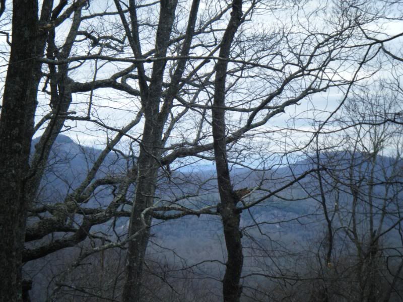
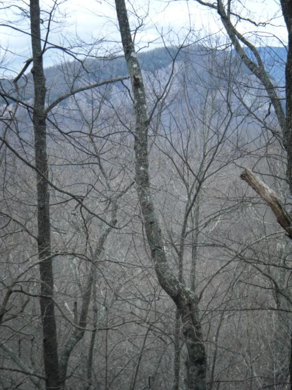
There was this very nice hunting blind set up looking down into the cove that Coontree Gap trail follows. It was a very nice spot and was easy to see why a hunter picked this location. I could spend a day just hanging out in the there waiting to see what comes by.
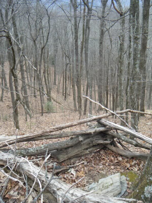
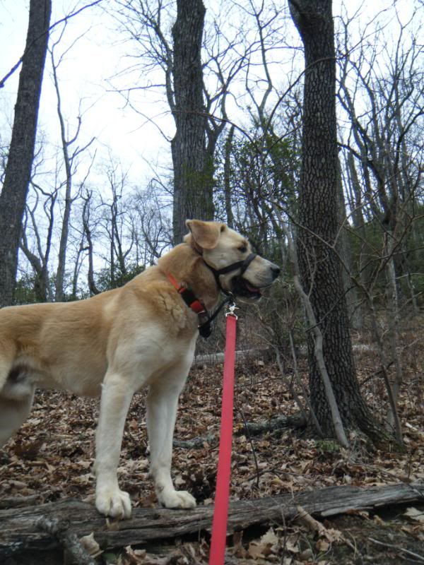
Just like I'd guessed we climbed a false top before reaching Bearpen Mtn. proper. The trail was very steep and it was a hard push to get to that false top (which happens to be ten feet higher than the top of the mountain) but once we got there it was really fast through the saddle and on to the summit. I made a horrible 3 minute video of the push to the top but won't bore you with it. Here are a few more pictures of us along the way.

The trip back down came very fast. The easiest way down was a mixture of swinging on the Rhodo branches and sliding down the leaves. Along the way I found this stake and flag. I guess I'm no the only one playing games out in those woods.

I've been riding my bike some and am going to be riding it some more in the future as well. Thursday I did:
Pink Beds > Gauging Station Connector > 476 > 1206 > 276
Friday I did:
South Mills River > Mullinax > Squirrel Gap > Laurel Creek > Bradley Creek > Riverside > Bradely Creek > 66 Jumps
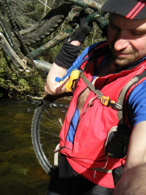
14 river and creek crossings in February isn't too bad!
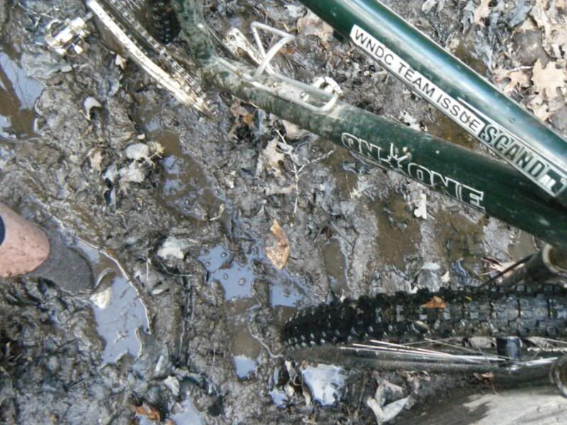
Saturday I did:
477 > Club Gap > Avery Creek > 477
Seven down, 45 to go!


No comments:
Post a Comment