Not going on a 30 mile hike that was going to require riding my bike home from Camp Daniel Boone on Saturday left me with a lot of free time this weekend so Saturday I was up early and headed to the only place I seem to know these days - Pisgah! I started from Coontree at 8am. The early start plus the recent time change meant a cold start to what was going to be a warm day so I chose to start by going up Coontree instead of out 276 to 477. Coontree woke me up and warmed me up and set the tone for what was another perfect day in Pisgah.
My route:
Coontree > Bennett Gap > 477 > Clawhammer > Buckhorn Gap > 477 > 276 > 475B > 225 > Cove Creek > 475 > Davidson River > 475 > 475B > 276 > 477 > Bennett Gap > Coontree
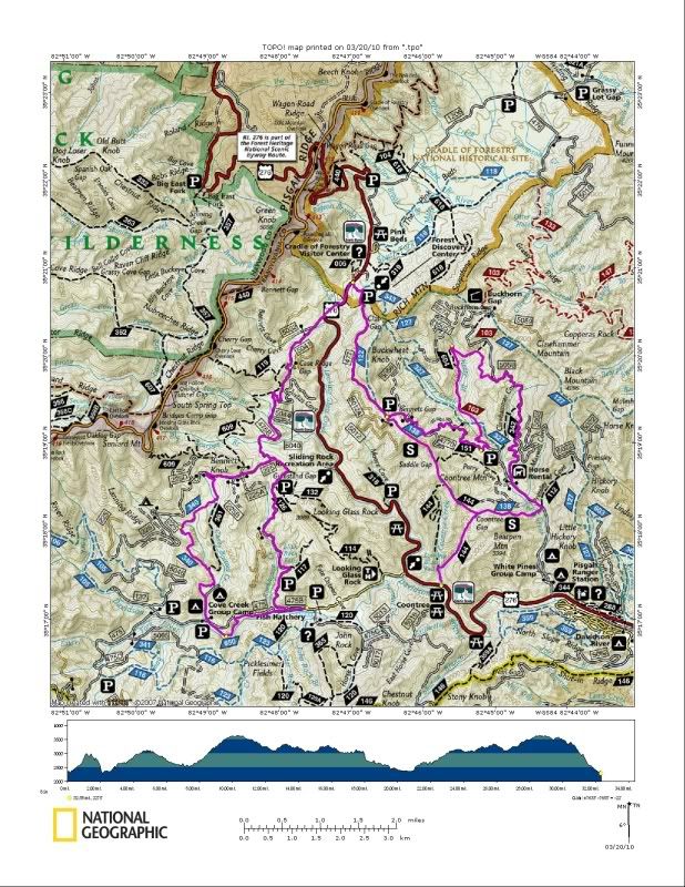
It was a no stopping sort of ride and was a nice mix of single track and gravel. At just over 30 miles it wasn't too big and with a big race on the imminent horizon I should have gone bigger but should have's and could have's won't do me any good so I'll take 33 miles of prime Pisgah any day!
Sunday Broussard wanted to get out and try and clear some Pisgah trails and I'm not quite tired of cutting yet so I went along. After much deliberation on trying to decide what was still left to clear we opted for the top of Black. We parked at the bottom of Pressley Cove and hiked up with our dogs. We hit Pressley Gap right at 30 minutes (as fast as you can get there on a bike!) and then I decided to run up Black to Turkey Pen. We all know that stretch of trail is steep and when I hit the intersection in less than 15 minutes I even surprised myself.
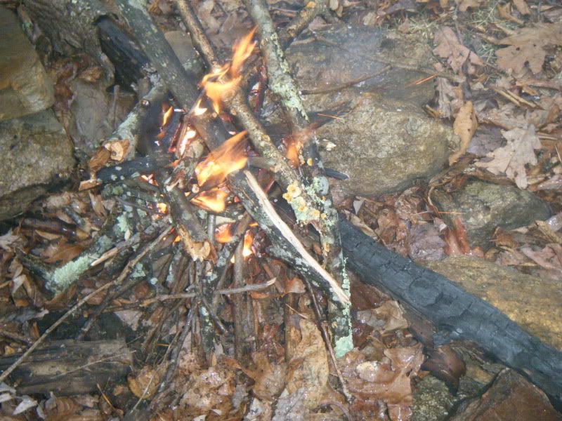
It was raining and I was cooling down fast so with a few minutes to kill I started a little fire. I couldn't help but think back to October when I had gone out to spectate the stage race and built a fire on Pilot Rock. That day it started snowing and Eric Wever noted that we were in for a long hard El Nino winter. How right he was!
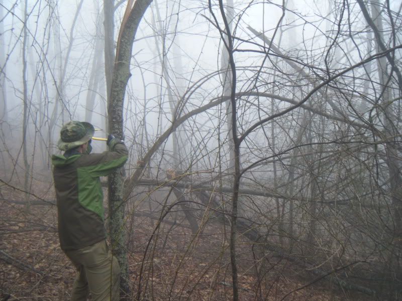
Black had been cleared ahead of us but we did find one tree that needed to be cut:
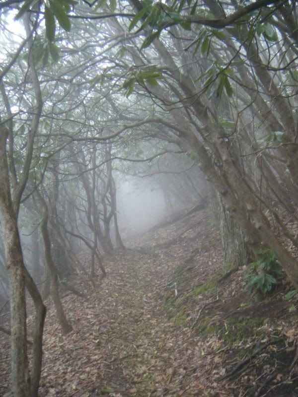
The top of Black is a special place and the weather really added to the ambiance:
Dennis and Diane appeared out of the fog and continued on up to the top with us. We stopped at the first overlook and found our second geocache of the day:
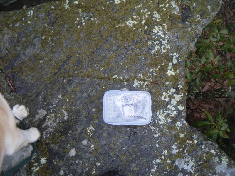
Diane had never been to the top of Black before so we all stood around gazing out at the fog:

We couldn't see anything and Dennis assured her that somewhere out there beyond the fog was a lot of stuff. Then suddenly a draft blew up from Avery Creek and just like the fog lifted briefly and all that stuff was suddenly visible:


After that it was just straight back down. I've been wondering if traveling in Pisgah on foot is just as fast as on a bike so I ran down to Pressley Gap. It took five minutes, not sure how long it takes on a bike to get down but it has to be close!
In the end we did very little trail work but our hearts were in the right place and it was fine day to be alive and in the woods!


No comments:
Post a Comment