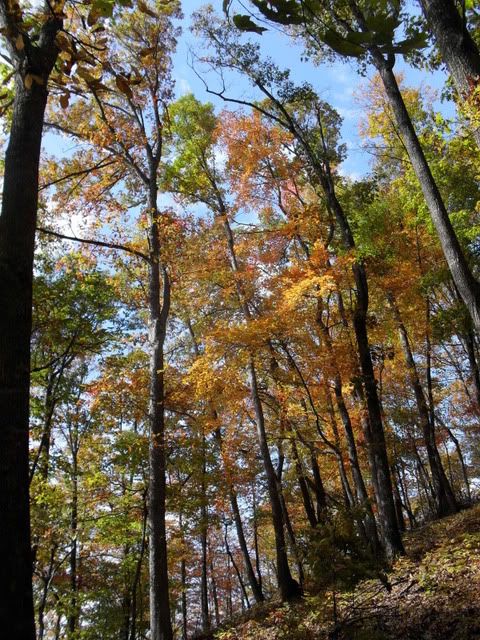
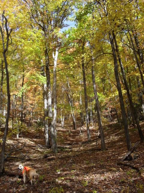
From there we went on to Double Knob and then West Knob. This took us past Brushy Ridge of soon to be logging fame and there was official looking flagging tape along the way. Pretty soon the faint old trails we were following will be full on logging roads:
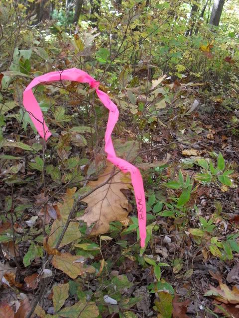
It was clear it had been logged in the past but it has been awhile. Not too many people make it up there, hunters mostly, I reckon. I wonder what they think about Brushy Ridge:

This is what our route looked like:
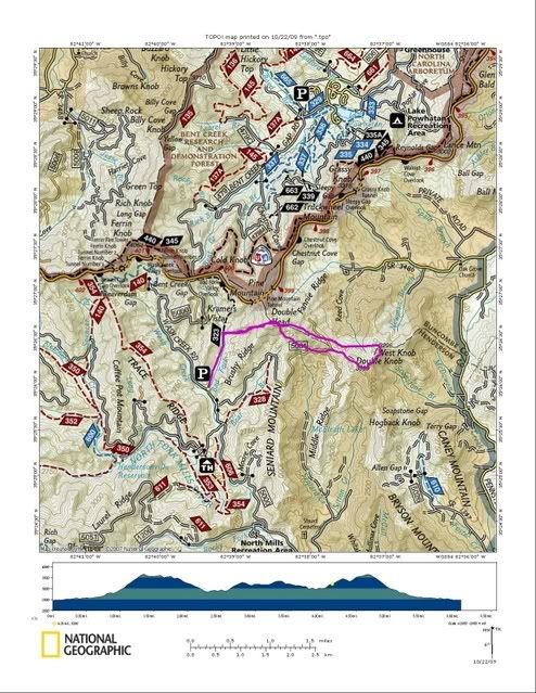
It was harder than it looks. Things get a little tricky when there isn't a trail. Old logging skid roads appeared and disappeared and at one time maybe even Duma was a little bit worried. I was going to go down Bear Branch but time was ticking and I decided to play it safe and back tracked instead.
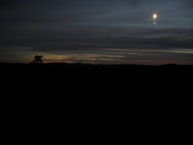
Wednesday Night Drinking Club found our omnipotent leader suffering from technical difficulties so the ride fell apart like always. Only Dennis and myself made it across the river to Big Rock. The moon moved:
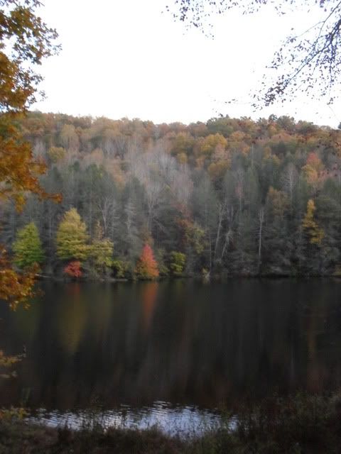
Mmm, leaves and lakes:
My new light did not disappoint at all. It simply rocks. I can't believe it was only $80. I'm not much of a product fluffer but this one might need fluffing. [before I name drop it will need more testing]
Reasonover > Lake Julia > Camp Summit > Airstrip > Shelter Rock > Corn Mill Shoals > Big Rock > Cedar Rock (steep side!) > Little River > Corn Mill Shoals > Shoals > Laurel Ridge > Mine Mtn.
Tuesday Night Jones Gap Overlook:


Have a good weekend everybody!


No comments:
Post a Comment