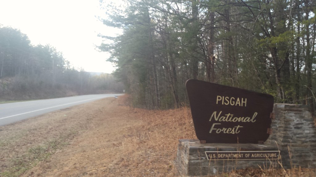
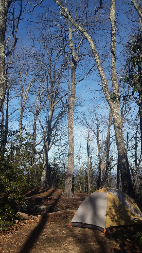
I walked a short distance into the Wilderness on Saturday afternoon and set up camp at the base of Hawk's Bill Mountain.
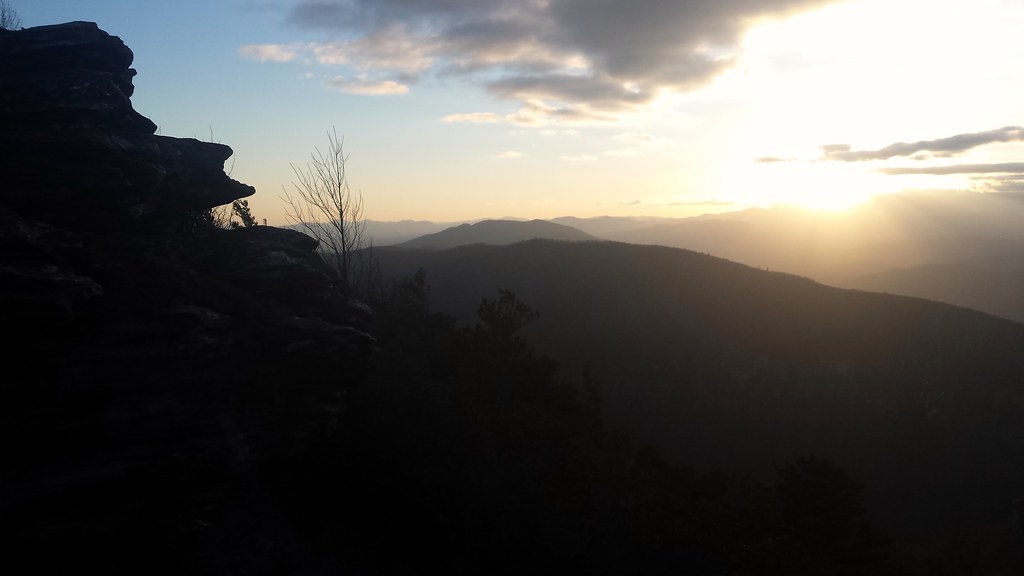
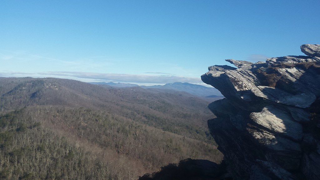
From there I did a quick little run up to the top of Hawk's Bill where a fantastic view awaited me. Table Rock was the dominant feature in a landscape full of dominant features. Its presence was so great that I could not help but run over to it to take in the sunset.

As close as it looked the run overtook a little longer than expected and I had the frozen trails all to myself. My solitude ended at the top of the iconic mountain where a group of revelers was awaiting the sunset. I snapped a quick picture and then retreated back to the solace of the trail and enjoyed the sunset over my shoulder as I made my way back to camp.

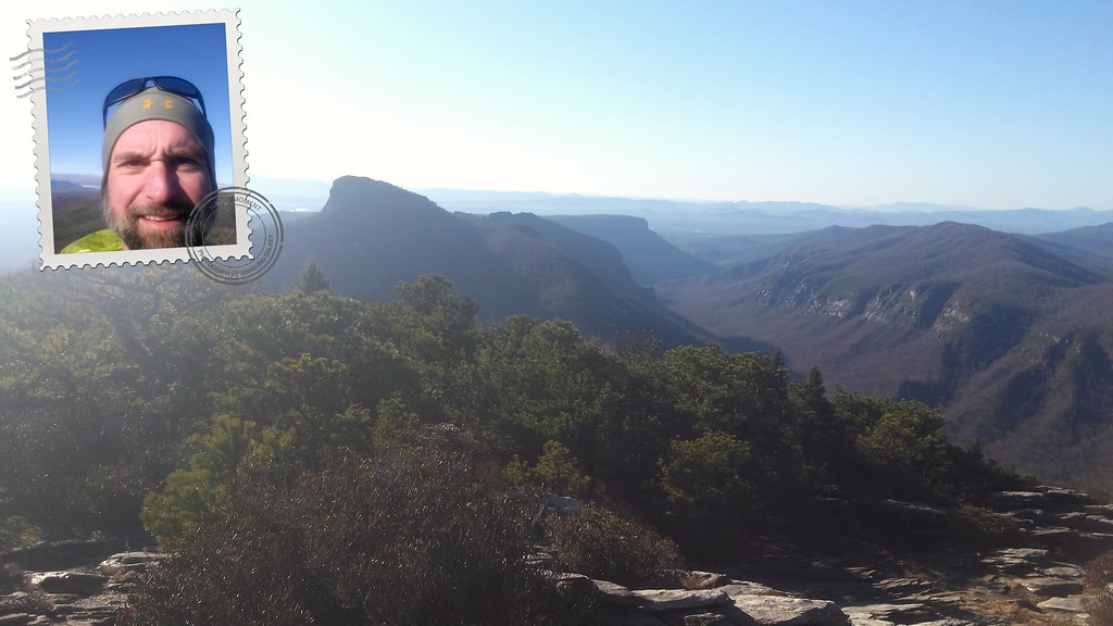
It was a cold night but morning broke with clear skies and a bright warm sun and once again I felt the pull of Hawk's Bill and ran to the top to enjoy the morning. I had the peak all to myself and spent some time enjoying the view.
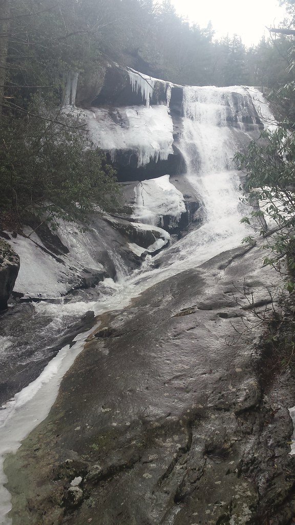
After breaking down camp and taking the long way back to the truck I stopped and checked out a waterfall for a future canyoneering route.
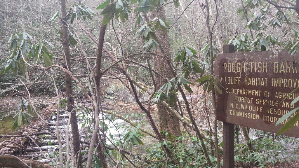
From there it was back out to the highway and off to check out Lower Steels Creek Trail #238. I had been eyeing this trail for awhile and had asked Brandon T. about it at the Wilson Creek Sweatfest but couldn't remember exactly what he said about it. I knew he said it wasn't worth doing but couldn't remember the reason why. I thought he said it had been logged. Whatever the reason I needed to see it for myself.
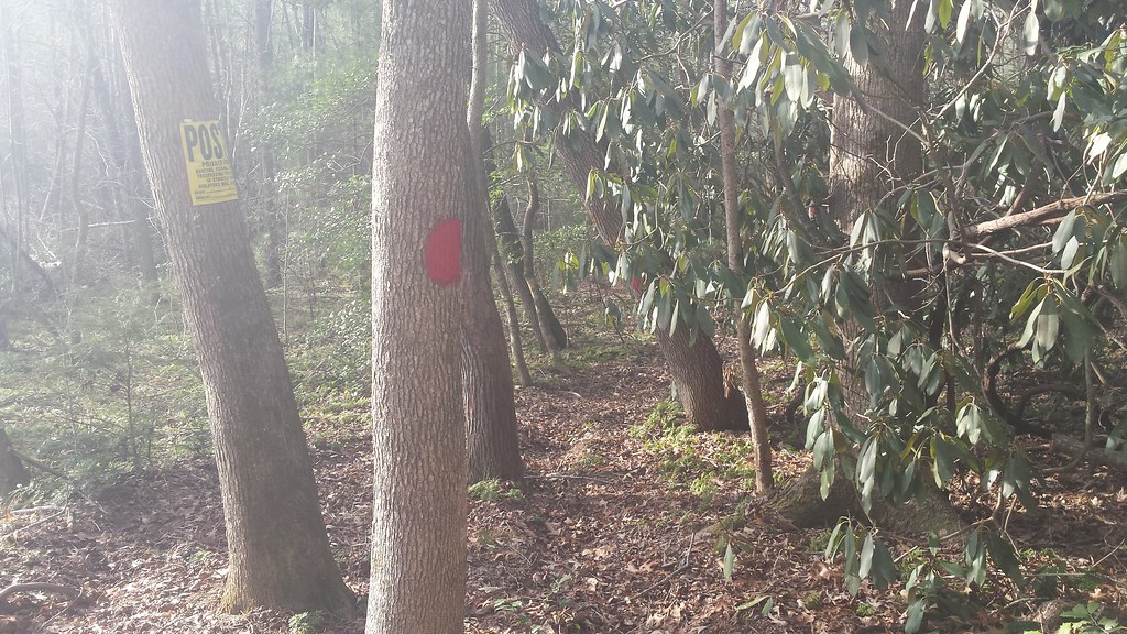
It took a few trips up and down the highway for me to confirm the start of the 'trail' due to some marked private property right where the trail was supposed to be. Once I was certain of the location I began the adventure. I never like poaching private property so I decided I would follow the property boundary which was also exactly where the trail was supposed to be according to my maps. It was easy enough to follow the boundary as it was marked like always by red paint. I was admiring how well of a job they did marking it as I made my way through the brush.
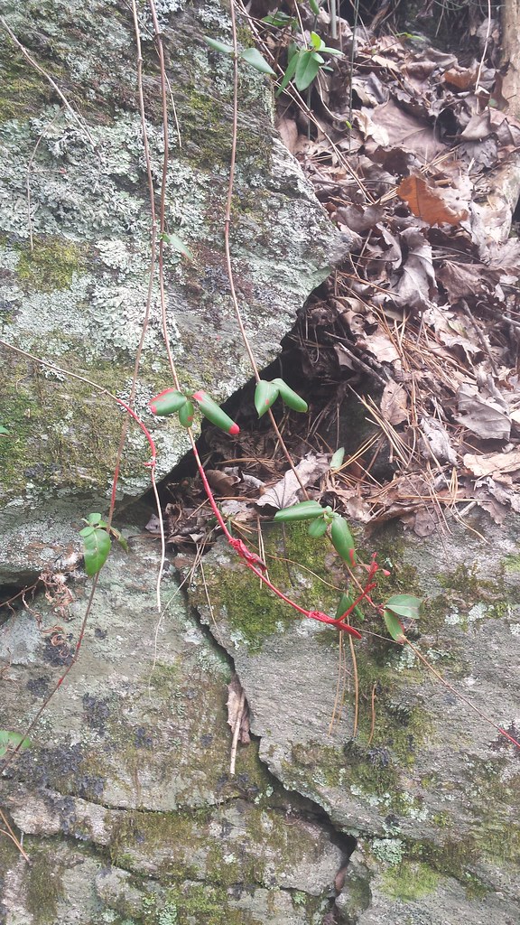
At one point I noticed what sure looked like fresh red paint dripping off a couple of leaves and thought "That has to be blood," so I reluctantly touched it and confirmed that is was indeed wet paint.
That meant that someone was in front of me marking the boundary. I found it to be an interesting coincidence that the day I picked to check out this seldom traveled trail would be the same day someone was out marking the property boundary. Undeterred, I continued on wondering if I would see whoever was in front of me. Eventually, the private property ended and I found the actual Lower Steels Creek trail but it was so overgrown that it was pretty much just a bushwack. I was determined to do the trail but after many creek crossings and impossibly slow going, I realized I needed to find a way to move faster. I consulted my map and decided to leave the creek and bushwack up to FR210A. I was gambling that the map was accurate and was quite relieved when the road was exactly where it was supposed to be. I could actually run again and followed the road back to the creek where it joined the trail I had been on. It was still very lightly traveled but there were signs of previous use from a forgotten time.
The excursion was taking a lot longer than anticipated and I was pushing day light so I was tempted to do another bushwack to speed things up but decided not to press my luck and stayed on the road instead. I eventually made it out to highway 181 and ran the final few miles as the sunset behind Table Rock bringing the weekend to a close.
No comments:
Post a Comment