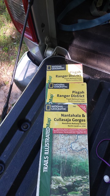
The trail head was right where it was supposed to be and I loaded up the tenkara rod with the plan of riding around for a little while before heading over to the small pond where I would fish and swim. As I rolled out everything was exactly like it was supposed to be with me on FR5077.
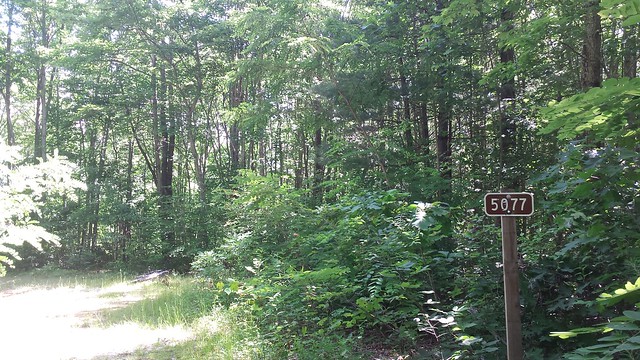
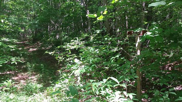
There were lots of intersections and while most of the roads were signed none of the numbers matched any of my maps.
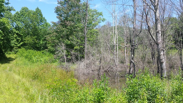
It was a perfect hot late spring day and I was having a blast checking out an area I'd never been to before. While not overly mountainous the terrain was rather unique with lots of fields, creeks and rolling hills. I rolled right past this mountain bog dreaming of the pond that lay in front of me.
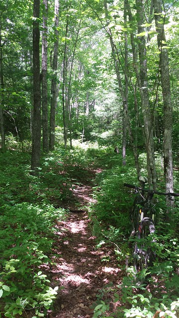
Eventually the road signs stopped and the roads started to become a whole lot more trail like and I started just guessing which turn to take.
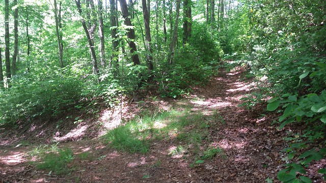
I would pick a turn, take it, ride for a mile or so on unique singletrack until barking dogs and private property appeared in front of me and then turn around and push back up to where I had come from. This went on for awhile until I finally started wondering where I was and where the mythical pond on the map was. It didn't really matter, I was having fun riding trails that don't see many people much less mountain bikes.
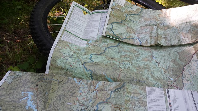
Eventually I gave in and used the gps on my phone to see where I was and where the pond was. I was far away from the pond and according to the USGS map it wasn't a pond at all but instead was marked as a mountain bog. Yep, the same one I had ridden past hours earlier. I chuckled at the reminder that it often isn't the destination that matters but instead it is the journey.
No comments:
Post a Comment