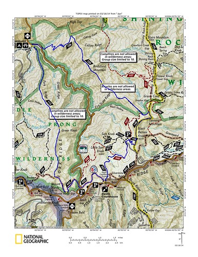
Green Mtn. > Mountains to Sea > Little Sam Knob > Flat Laurel Creek > Art Loeb Spur > Art Loeb > Black Balsam > Art Loeb > Fork Mtn.
Green Mountain trail #113 in Middle Prong Wilderness and Fork Mountain trail #109 in Shining Rock Wilderness are likely the two least traveled and most difficult trails you will find in the Pisgah Ranger District. I've done both trails before and knew exactly what to expect: insane elevation changes over very rugged terrain, bountiful views, twisted rhododendron tunnels, disappearing trails and few people. They are my two favorite trails in the forest. We were traveling light and other than my shorts, shoes and shirt I was armed with only arm warmers, gloves, wool cap, two bottles of water, a dropper of bleach, lighter and a thousand calories. There would be no lollygagging this day.
Green Mountain trail climbs steeply from the start and I tried running.
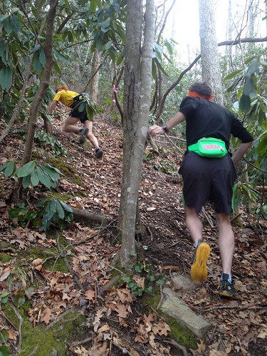
That first pitch levels off a little after a few hundred vertical feet but the next four miles are still very much a serious climb. Every once in a while you top a little finger and get a brief flat stretch but that is often combined with rhododendron so tight that you have to run or hike hunched over. After almost three thousand feet of climbing you top out on Green Knob and the trail begins to go through several different patches of high mountain balds but unlike most of the balds in the area these have a great sense of solitude to them.
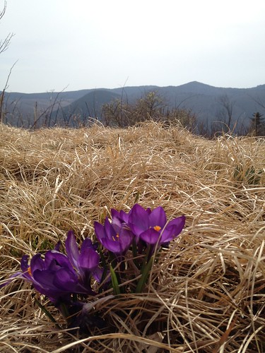
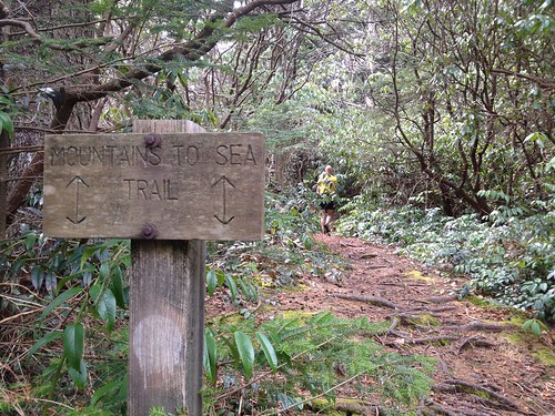
We made the turn onto the Mountains to Sea trail and briefly discussed going the short way to the top of Mt. Hardy but we all agreed that we still had a long way to go and even a short way out of the way should be avoided if possible so we passed on it. The MST through Middle Prong is flat, twisted and slow going. Somewhere on it Yuri remarked that we were already over nine miles in. I did the math and realized that if the run was only 18-20 miles, as I had thought, we should only have been seven miles in. It would be over 20, that much was for sure.
At highway 215 we could have taken Flat Laurel Creek but instead stayed on the MST and started climbing up towards Devil's Courthouse. I had been eating all day but my thousand calories were already cut in half and I was starting to worry about food; I was bonking a little and had moved from the front to the far back of the pack.
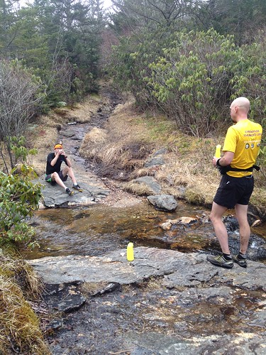
Down Little Sam, up Flat Laurel Creek to the Black Balsam parking lot and it is decision time again. Do we go over the top of Black Balsam Knob and Tennent Mountain or do we stick to Ivestor Gap trail and take the flat and easy way? We opt for the two 6000' peaks, of course. We stopped at the spring for our last chance of water until the end of the run where I popped a hit of caffeine and ate half of my last Snicker's bar before we took off across the wide open balds. It was a perfect early spring day and I was suddenly feeling great. The lows I had felt on the MST and Little Sam were gone and I was running strong and fast.
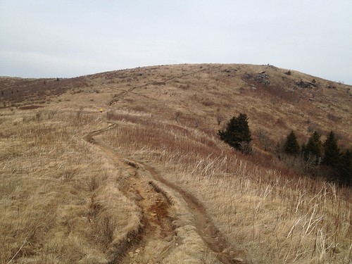
Art Loeb III and the many social trails that weave around these balds are some of the most treacherous erosion gullies you will find around but this day I found them surprisingly runnable. While the solitude over the Wilderness had been shattered by the throngs of people this section still made for some truly excellent running. We paused briefly on the top of Tennent and I showed Jon the long ridge with all its various peaks that the Fork Mtn. trail would take us across.
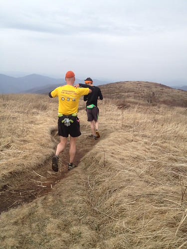
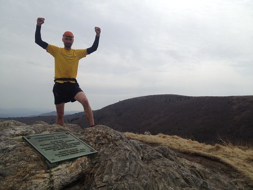
Fork Mountain is seven of the best miles of trail you will find in Pisgah. And also seven of the hardest miles. After 18 miles of hard mountain running the trail took its toll on us. We spread out, each of us enjoying the trail's beautiful misery on our own. For most of it's length Fork Mtn. follows the ridge line and twists, turns and climbs up and over Birdstand Mountain. It might look flat on the map but it is anything but flat. But it is oh so good!
After five miles or so we finally reached our final intersection of the day where we would finally begin to descend back down to Sunburst. We were all pretty spent by this point and we took a minute to relax before we summoned our final bit of strength for the home stretch.
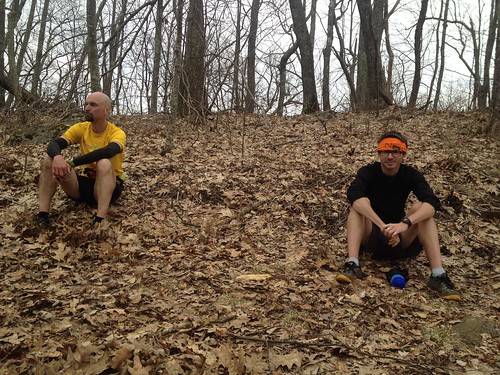
Those final miles drop 2000' straight down. If all the climbing hadn't been enough this final pounding was certain to fulfill any wishes for the run we might have had.
25 miles. Seven hours.


No comments:
Post a Comment