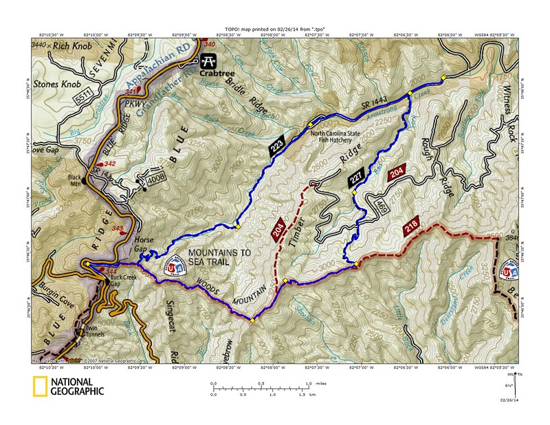
These are two of the few trails in the area I have not done yet and I was eager to see what they had to offer. We pulled up at the Fish Hatchery to sixty degree temperatures, wide open Carolina blue skies and not another car or person in sight. It was clear we weren't in the Pisgah Ranger District and the relative solitude was refreshing.
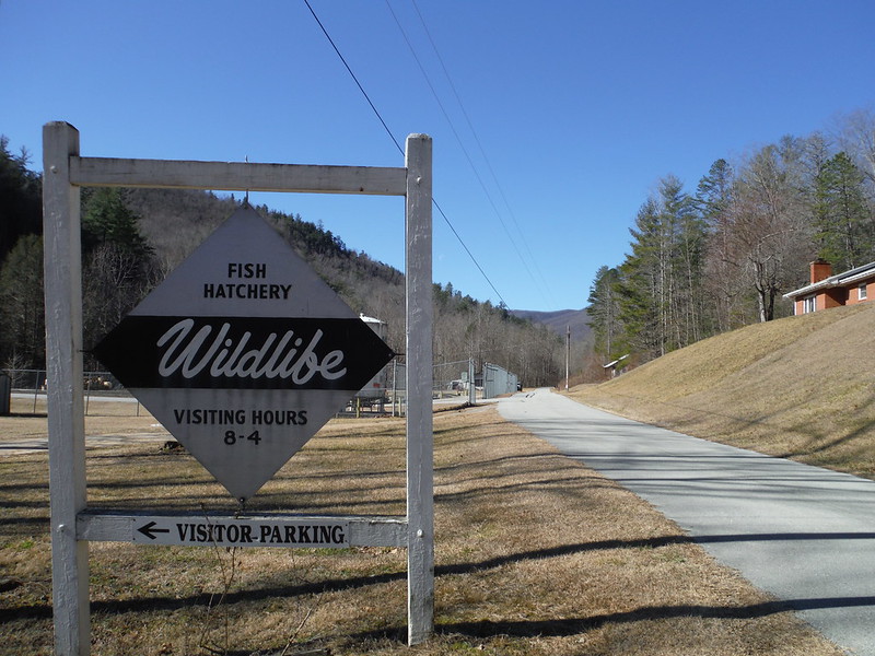
We weren't sure exactly where the Bad Fork trail was so we opted to do the route counter clockwise. It started out with running almost two miles on a paved single lane road through a bizarro old fish hatchery. The asphalt eventually gave way to gravel and then a gate and then we were on a trail still following Armstrong Creek up the mountain. The bottom was a beautiful stretch of trail through a Hemlock Forest with every little understory with plenty of creek crossings to keep our feet cool. The trail had seen some very recent trail work that I was immediately able to identify as being that of a specific local trail builder. While some of the work was very good, some of it looked rather rushed and very disappointingly the trail builder felt the need to use a chain saw to carve their company's initials in one downed tree and then actually go as far to write their entire company name in another very large tree they had cleared from the trail. I have a hard time considering anyone a professional who feels the need to leave such a mark.
The top section of Armstrong Creek was a gentle climb up a series of switchbacks. This led us to the Mountains to Sea Trail at top of the ridge where a lone telephone pole stands connected to nothing.
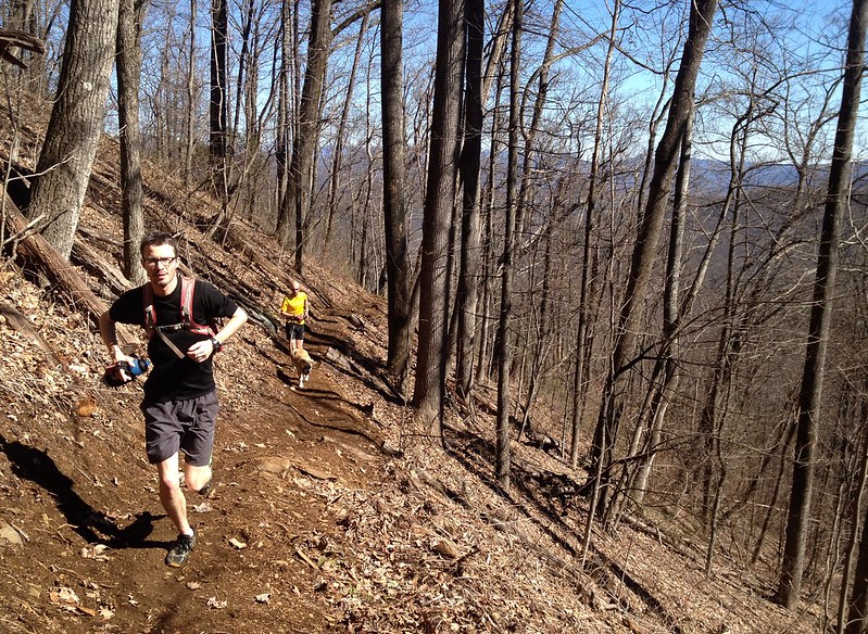
We did the quick out and back down the MST to the Blue Ridge Parkway and the Eastern Continental divide. This meant we were really getting somewhere and made us transcontinental warriors, or something.
The stretch back across the MST was an amazing ridge top run. Great views abounded all around the crystal clear skies and I knew this must be heaven or at least good enough to pretend.

We easily found Bad Fork, even with the confusing new signs that show the Forest Service's "Less Trails" push, and started down. The top stretch down to the road was in great shape but over far too fast. Once crossing the road we started following the creek and after stopping for a drink things took a turn for the interesting. The trail suddenly became very covered with dead rhododendrons. Imagine a rhododendron tunnel and then imagine if all those bushes had been dead for years and had then fallen onto the trail.
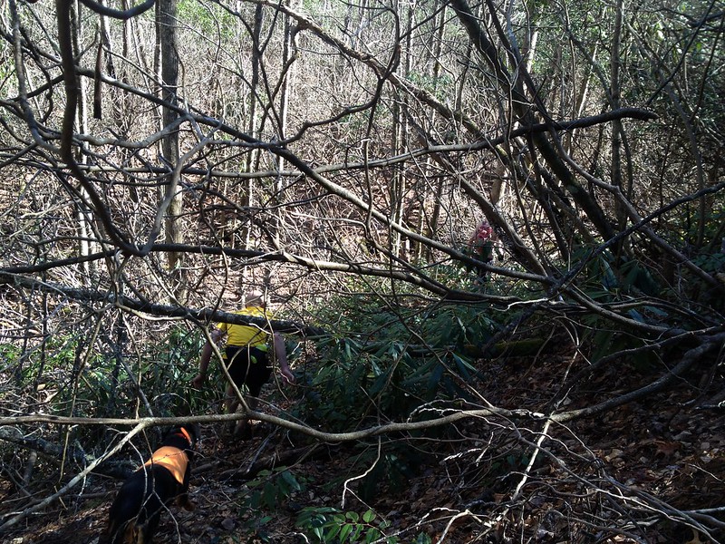
It was worse than you can imagine. A half mile must have taken us an hour. At one point when we lost the trail Jon said:
"It must be this way because the most trees are down over here."
And he was right.

But then right as our patience was started to wear thin it let up a little and we could actually run again for short stretches. The trail ended just past a crossing with Armstrong Creek and put us back on the same hatchery road we had come in on.
I haven't checked but my hunch is the USFS has removed the bottom of Bad Fork from the map. If that is the case it is a real shame as it is the only logical loop for Armstrong Creek trail. If they spent all that money on one trail the other should at least remain open for users who prefer loops to out and backs.
No comments:
Post a Comment