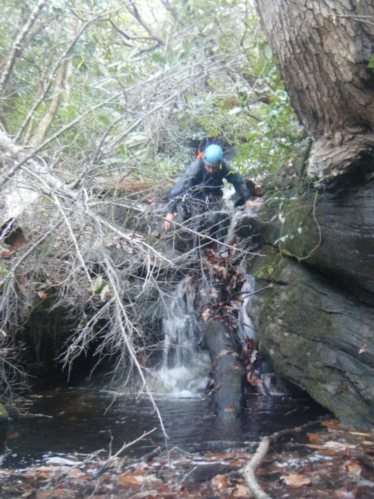
The approach was tough. Trails exist, and are mapped, in the Big Pisgah Tract but they aren't marked and our lack of preparation had us relying on our combined navigational expertise. We went up the West Fork trail but had to stop at every intersection to discuss where we were and the best way to approach the top of the drainage. We opted to take West Fork all the way up to the top of Sheldon Mountain and then follow the ridge down to the gap where the drainage started. Six hundred vertical feet down from there we would find Dismal Falls and the start of what we hoped would be a perfect East Coast Canyon. After a while the trail died out and we were faced with hard bushwhacking and difficult navigation. It was easy enough to find the top of a mountain but finding the exact right cove to descend was less clear. As we read the terrain we second guessed ourselves multiple times and continued heading West as we ruled out various lesser drainages.
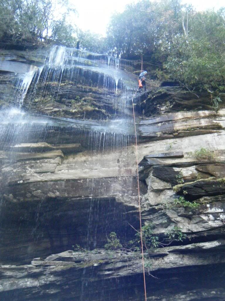
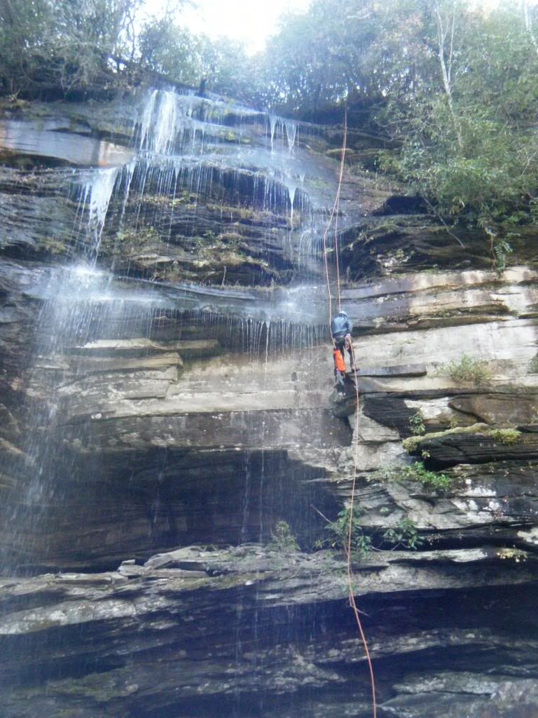
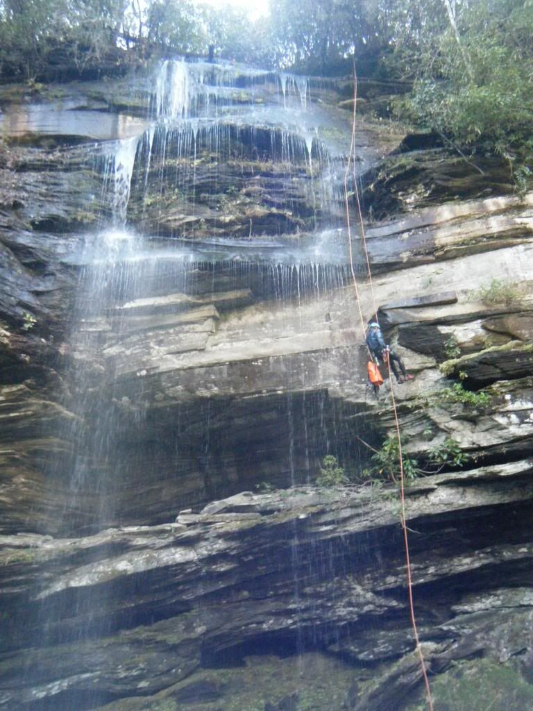
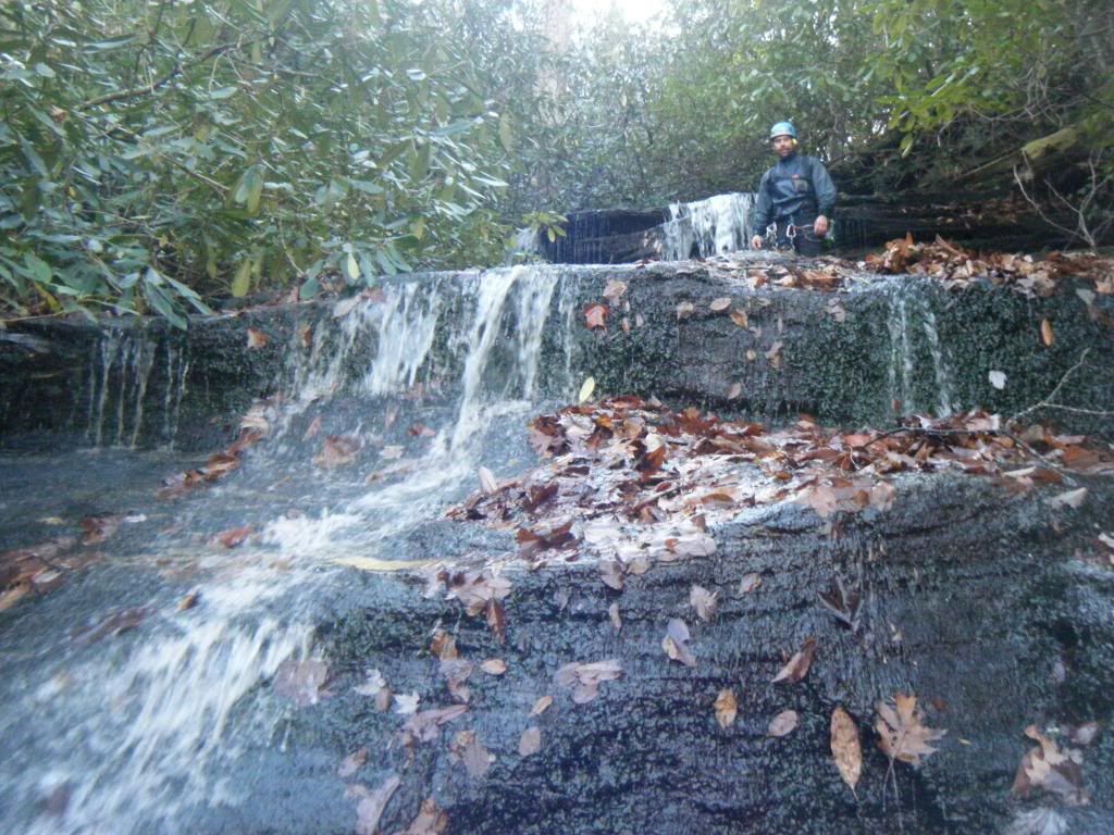
Two and a half hours later we found ourselves perched on a ledge looking across at Dismal Falls. We estimated the main drop to be 80-100 feet, most of which was a free fall. Later, back at the bar, Joe would describe it as three awkward starts and then a fifty foot free fall and that sounds about right. After the initial rappel down the waterfall I was expecting to enter canyon/gorge type terrain but it never came. It was interesting and a lot of fun to be tramping through a creek in the middle of November but in the end Dismal Falls was not the best of creeks for canyoneering.

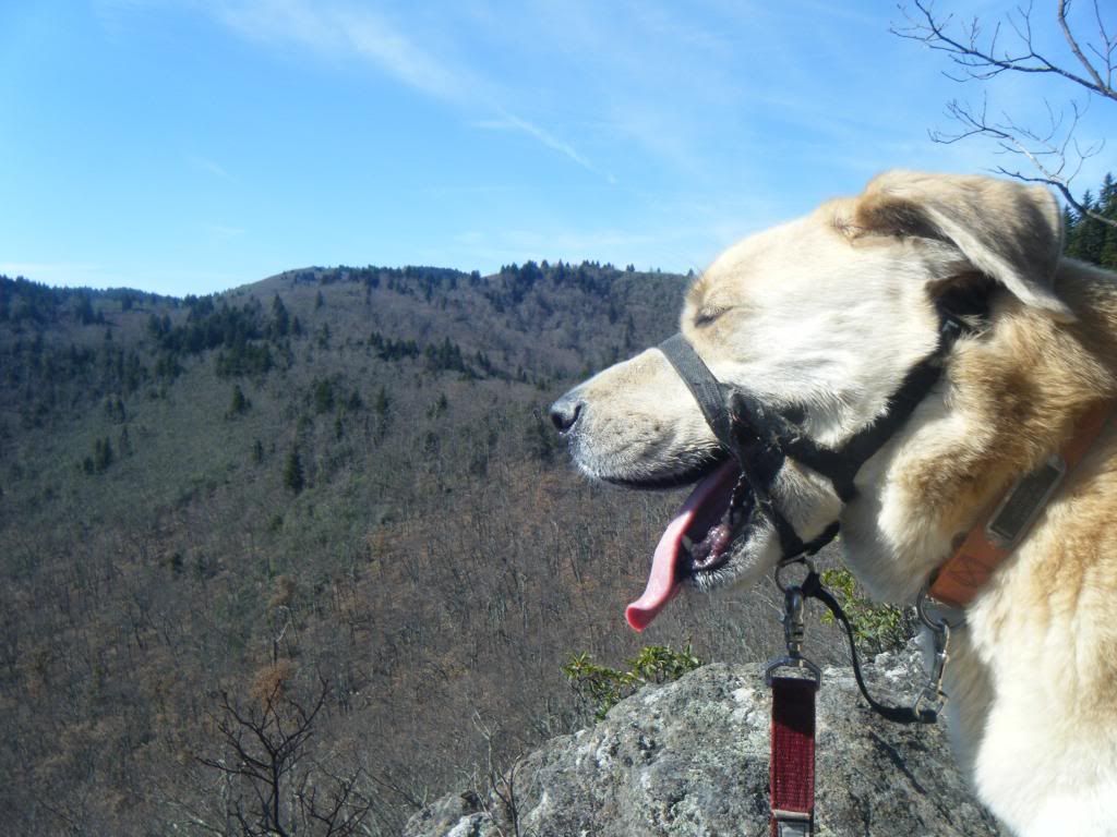
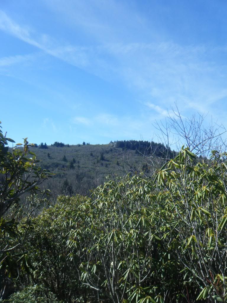
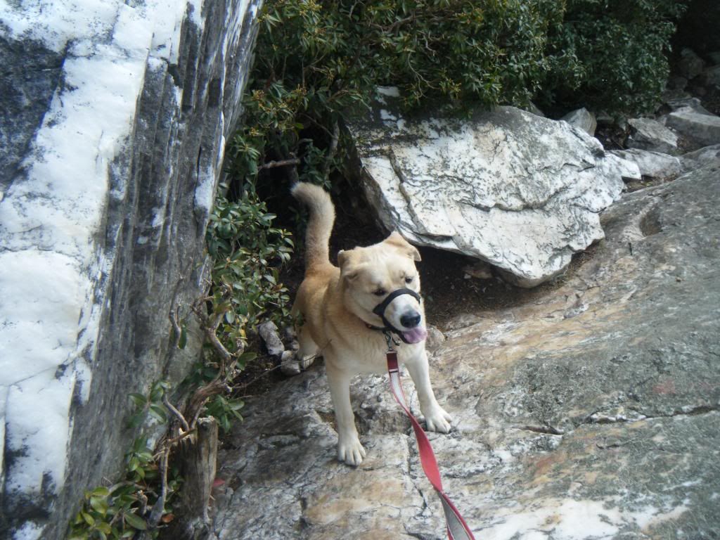
Sunday was the day for the dog and Duma and I headed to Big East Fork for a mountain run. We picked the classic Old Butt Knob > Shining Rock Creek loop:
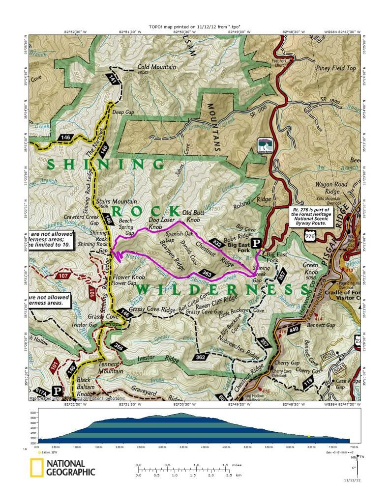
At just seven and a half miles it sounds like an easy loop for a run but with 3000' of climbing and an equal descent it might the toughest 'run' I have ever done. I'm convinced Old Butt Knob is the steepest trail in the forest - at times I was on all fours as we made our way quickly up it. Shining Rock Creek is almost as steep and with a foot of leaves on the ground running down it was down right treacherous.

No comments:
Post a Comment