
In the end this would be a hike of hidden surprises. At the start of Hickory Branch trail you look up at this huge, steep climb up what appears to be a serious set of water bars.
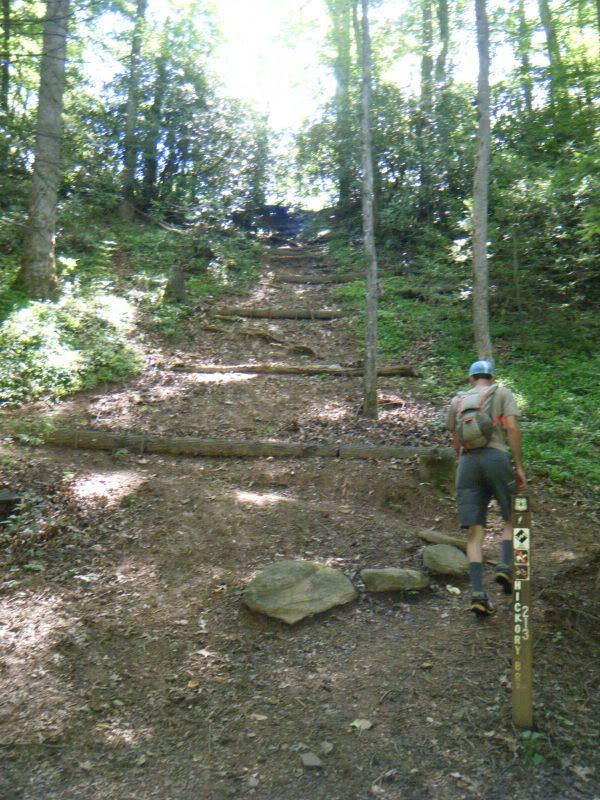
It turns out those are check dams, not water bars, and the trail starts a long switchback right at the bottom. I was expecting a long climb to start but instead after cresting that first hill the trail starts a casual course as it follows Hickory Branch up the mountain. I also was expecting a dry hike as there is no water shown on the map so a pleasant stream side romp was a welcome way to start the day.
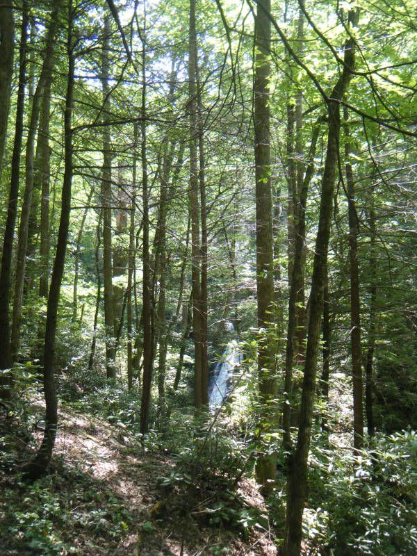
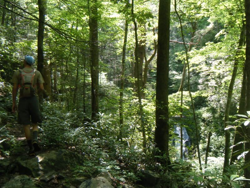
We hit Lead Mine Gap and started down to the dead end that had Yuri so curious. It was steep and overgrown and only very lightly traveled. At the bottom was Mackey Creek and instead of a dead end there was another trail going up and down the creek. According to Yuri's iphone the trail was actually a road that goes all the way up to Curtis Creek Rd. so we decided we would be fools not to take it and altered our route accordingly.
Yuri remarked that this road we were about to go up was likely to be quite similar to Courthouse Creek. His iphone had shown that being a road as well and it turned out to be an all out bushwhack by the time it ended. Mackey Creek started with a very pleasant walk up the creek bank. There was a well defined trail and plenty of flagging tape to guide us along. But there were also several other trails leading up unmapped streams so a little navigation was required. Every now and again we would loose the trail and follow something else up into the brush and into a dead end. For several long stretches the trail was the creek itself and we waded up it following the pink flagging tape.

After an hour or so of working our way up this creek we noticed that we hadn't started gaining any elevation yet. This was troubling as eventually we would have to gain a thousand feet or so and we were wondering when it would start. At one point we found a tent set up just off the trail. It was a big tent and we were way out there so only after a few loud and cautious hello's did I get brave enough to sneak a peak inside.

It was abandoned and we figured that we couldn't be far from the top if someone managed to get a tent that size down this trail. We figured wrong and from there we still had another hour following the flagging tape up the drainage. The climb we were expecting finally came in the form of a steep scramble.
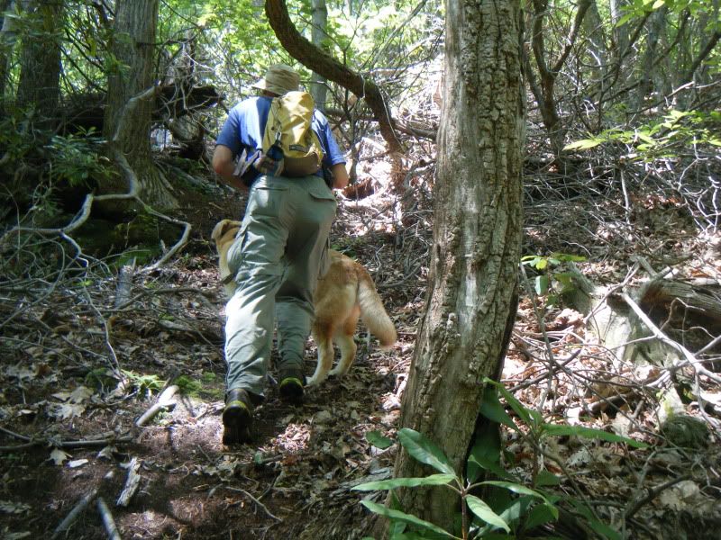
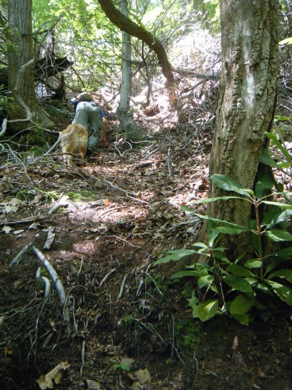
Even with the tough trail conditions this was still a very nice stretch of forest.
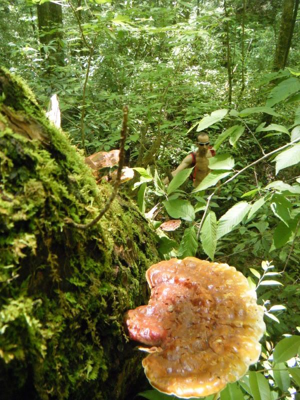
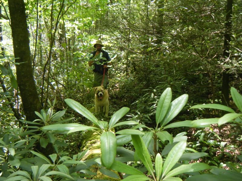
As we approached Curtis Creek Rd. the trail became a trail again and then a road, just as Yuri's iphone had promised! At the road we took an immediate left up the other end of Lead Mine Gap trail. You would think that with being all the way up there on Curtis Creek Rd. with the truck parked down at the campground at the bottom Lead Mine Gap would be an all downhill hike but you would think wrong. The trail is almost all up hill with a very long and serious climb up to the top of Buckeye Knob. Not many people use these more remote trails in the Blacks and it has been a long time since Lead Mine has seen any brushing and even though we were on an official marked and blazed trail at times it felt like we were right back on Mackey Creek playing follow the flagging tape.
In keeping with the theme of surprises Lead Mine Gap continued to deliver. Along the spectacular ridge line stretch of trail there were lots of signs of bear activity. There were plenty of very deep and very big paw prints on the trail that don't show up in a picture as well as lots of bear made blazes that do show up well in pictures.
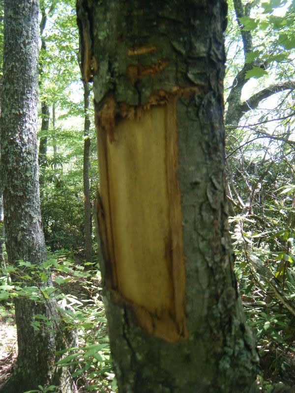
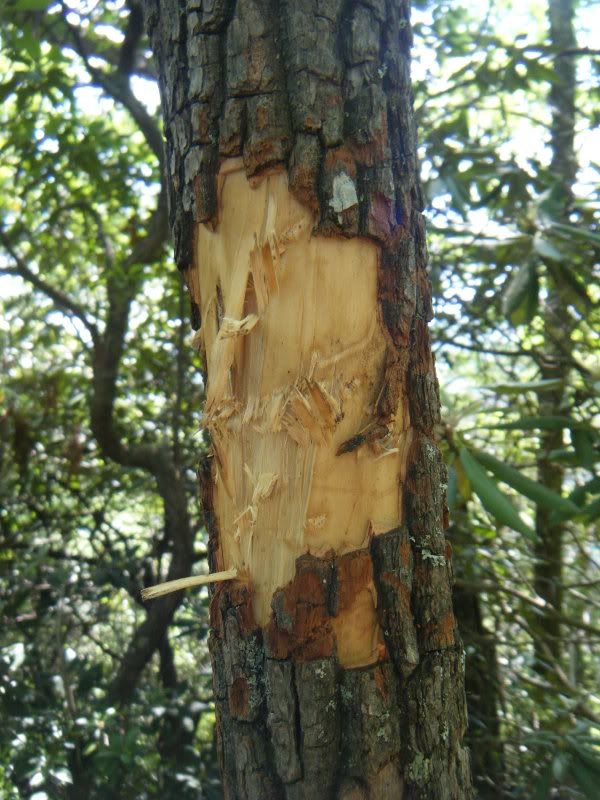
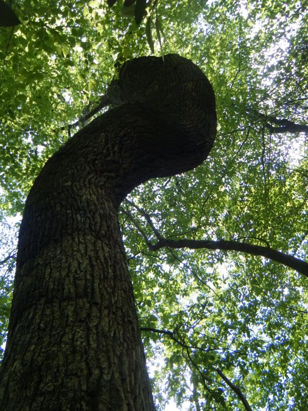
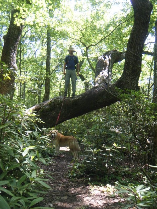
This is my idea of a technical trail feature:
The hike came in right at 10 miles and has me eager to get right back out to Curtis Creek Rd. to check out the rest of those dotted black lines!


Very cool, I've wondered about that "dead end" myself before. There's apparently an off-trail waterfall on the little creek coming down from Laurel Knob on your map...that's the next thing I want to check out. Word has it that it's surrounded by acres and acres of stinging nettle, so I'm waiting until that dies...
ReplyDelete