I started out up the highway and when I got to my first turn there were these signs showing me the way:
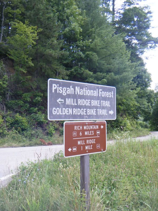
But I hadn't really looked at the map and didn't know the names of the trails or roads I was headed for. My gps was telling me that both right and left were wrong and that I was supposed to go straight. So I poked around for a second and found an old gated road that headed straight up the mountain and looked a lot more like a trail than a road. This was a big climbed and quickly turned into a hike a bike.

After a few thousand vertical feet the road spit me out close to Hurricane Gap and my gps told me to go left down FR422. This road was a big question to me on the map. It was one of those broken lines that means unimproved road and could be much more like a trail than a road but as it turned out it was very much a road, one that is heavily used by 4x4's at that. Lots of big, deep mud puddles that made riding it all impossible.
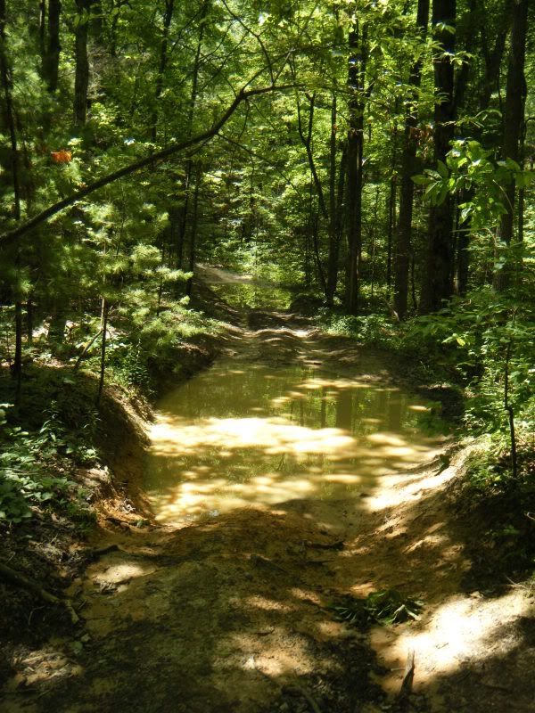
At one point a bobcat ran in front of me for a few hundred yards and there were signs of other wildlife.
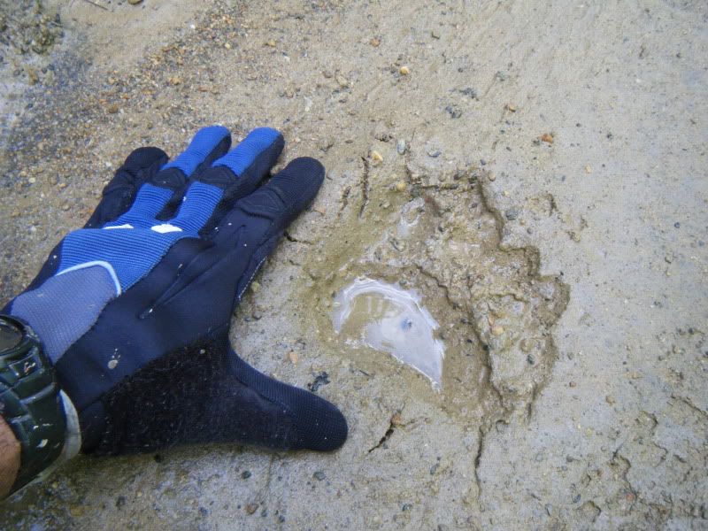
When it finally ended I wasn't sorry to be done with it and headed right back for Hurricane Gap.
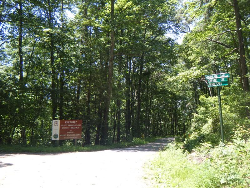
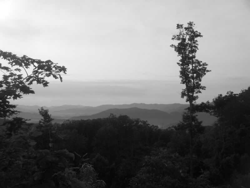
A quick detour up to the top of Rich Mtn. to take in the view:

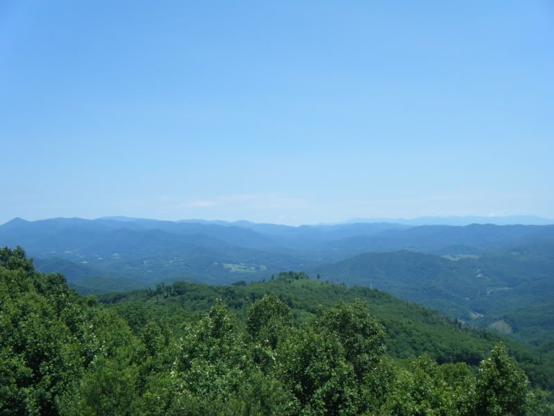
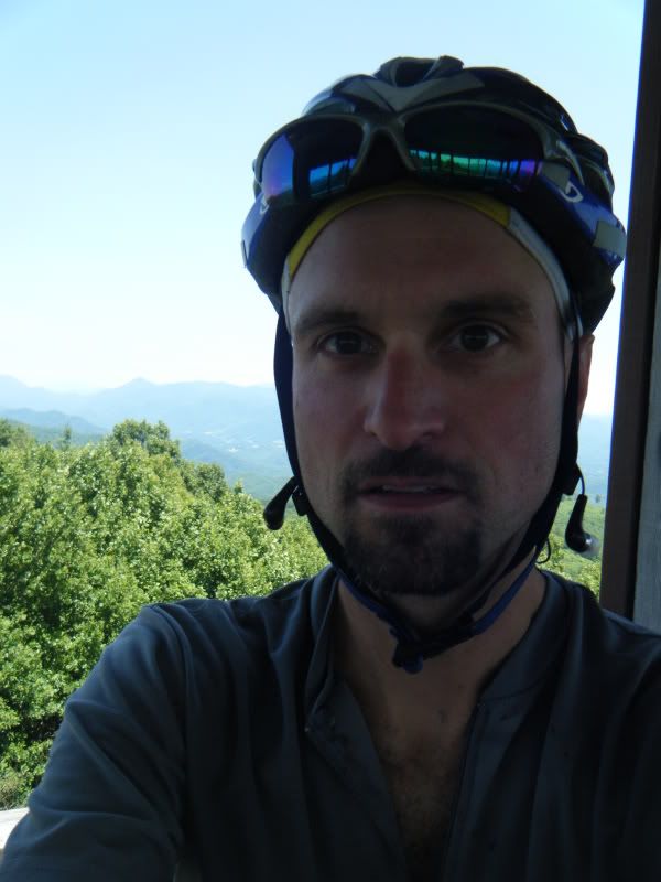
And then back down the road for a little lollipop section across Golden Ridge.

It started out as a grassy road and on the map looks like a road so down the road I went. I followed the gps the best I could but as I was trying to make my way to the next waypoint the road dead ended. Hmmn, that can't be right. So I backtrack and find another old road off to the left. Okay, this has to be it! But no, it dead ended as well. So, I said screw it and decided to hightail it back down the mountain to the party. But on my way back out I found a trail sign tucked just off the road and a little piece of sweet looking single track turning up the hill 180 degrees from the road. This must be it!
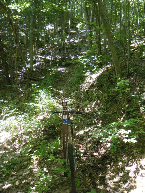
It started out as a really nice bit of single track. It was tight and climbed steadily with some fun switchbacks and I was feeling really good about riding this Golden Ridge.

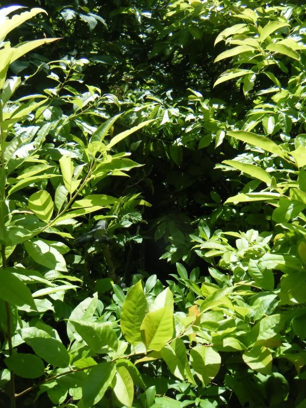
But as I got to the top it became very overgrown very fast. Riding was impossible and getting a bicycle through it was downright difficult. I've done some hard bushwhacks before but not in the summer and not through this much thorny growth. After a half hour or so of trying to push my way through it I turned around and went back the way I came, completely defeated.
There is a bike in there somewhere:
I finished by going down the same gated road I had come up at the start of the day which was a really fast and fun downhill. The ride came in at 40 miles with 10k of climbing and was one of the best I have had in awhile.
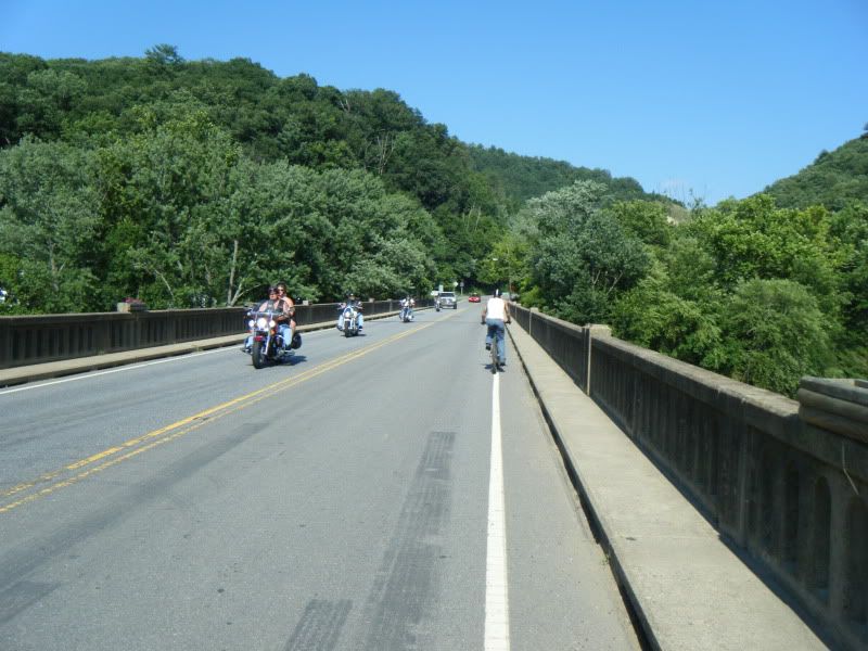
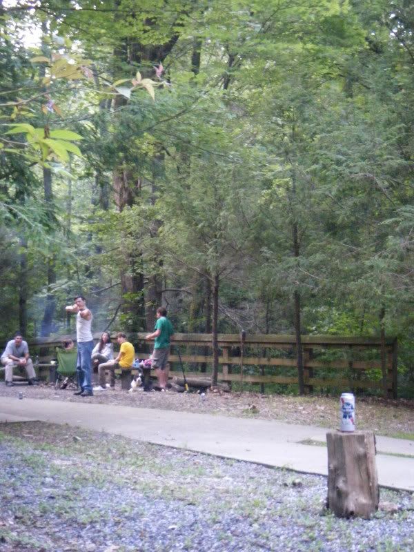
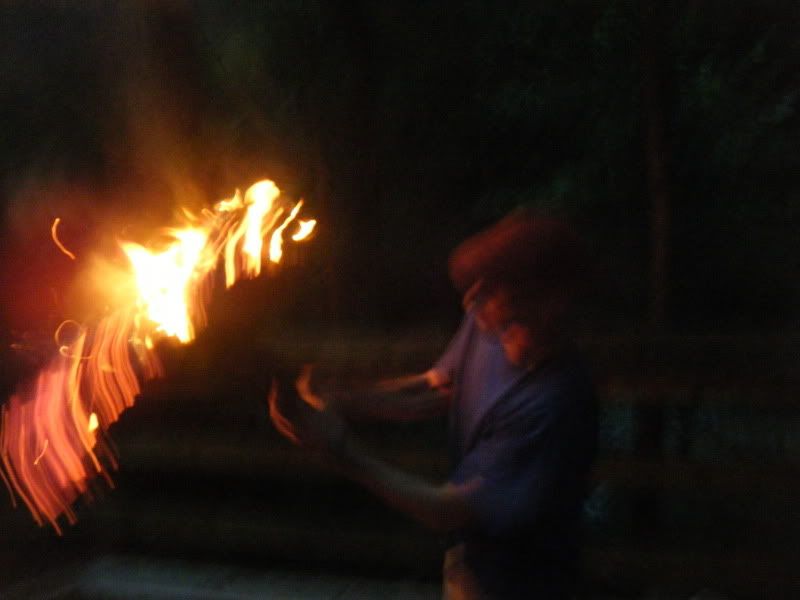
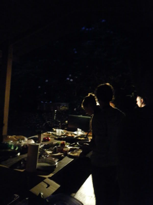
Back at camp it was just one more Saturday night, wndc style!
7am comes early when the nights run late but nothing is better than getting up before anyone else and getting on a bike, even if everything is still a little hazy from the night before.
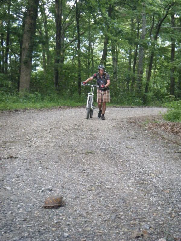
Back up the Rich Mtn. tower via a ten mile gravel climb. It's okay, Jonathon I was walking the same stretch the day before.
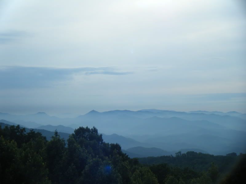
Carolina in the morning!
Too much fun, all weekend long! I can't wait to do it again!


No comments:
Post a Comment