Friday I woke to a little snow but by afternoon it was warm and sunny so I met up with Carlos for a fun little ride starting from the Hub. We did:
Estatoe > Sycamore Cove > 5061 > Thrift Cove > Black Mtn. (out and back to Hickory Knob
Along the way I decided to climb this vine but of course it didn't like that too much:

photo courtesy of Carlos.
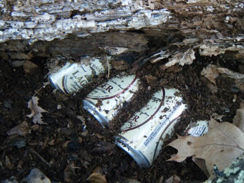
I borrowed this fancy video camera they have at the Hub and tried to shoot the Black Mtn. downhill from Hickory Knob but flatted near the top so the video is in two chunks. If I ever manage to get a copy of it from them I'll be sure and post it here as I'm sure everyone wants to see what it is like to ride very slowly down Black. Of course it wouldn't be a Friday without a cold beer:
Saturday I decided was for the dog. I couldn't think of any trail that sounded like fun so I decided not to do a trail at all and instead to go bushwhacking. Trails? How do they work?
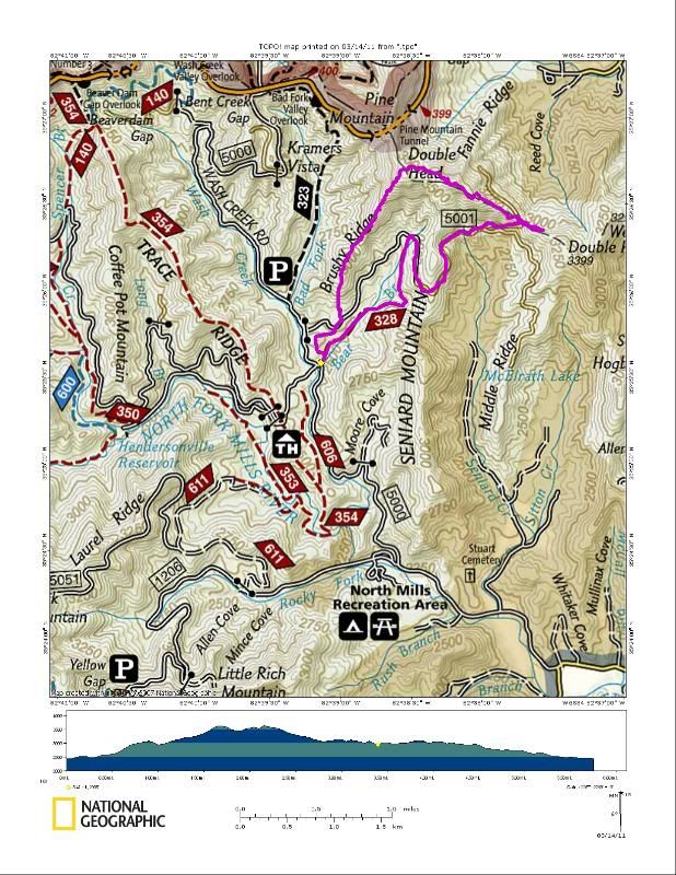
I didn't want to drive too far so I decided to hit the top of Double Head via Brushy Ridge. Brushy is on the logging chopping block so it sounded like a good time to head up there. Being the reasonable type I started out on a trail, Bear Branch, but immediately left it and tried to put together the old single track that once made it a true loop. That worked okay and put me out on FR5001 where I wanted to be. From looking at the map it would appear the easiest way to the top of Double Head is to start the bushwhack from the top of Bear Branch but I was concerned that was going to be too steep so I left the road and headed straight up the ridge right away.
As we worked up the ridge we kept crossing old road cuts and it is not hard to see why they picked Brushy to be logged. It is ready to go. All the old roads are still there, they just need to be opened back up again. This area is going to change drastically. I'm not sure how I feel about that, but that is another story.
Somewhere along the way I found this skull that I offer up to you to identify:
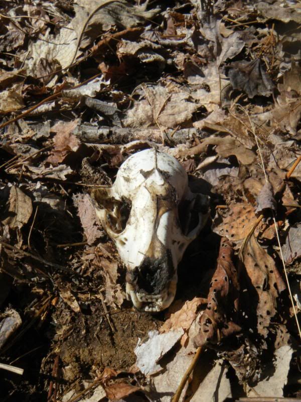
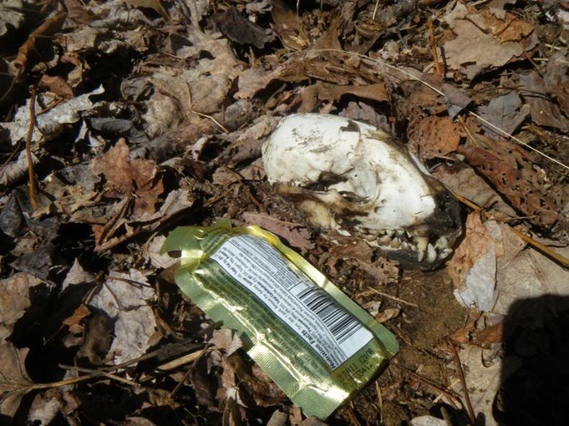
Edit: I found this really cool website (google, check it out!) and identified the skull myself. As suspected it is a coyote! Yuri, are you excited? Want to go back up there and get it with me?
It was a nice walk up the ridge and eventually the old roads and trails disappeared completely as we neared the top. It started to get steep and as I paused to rest and enjoy the view over my shoulder I had to hope that they don't log up this high.
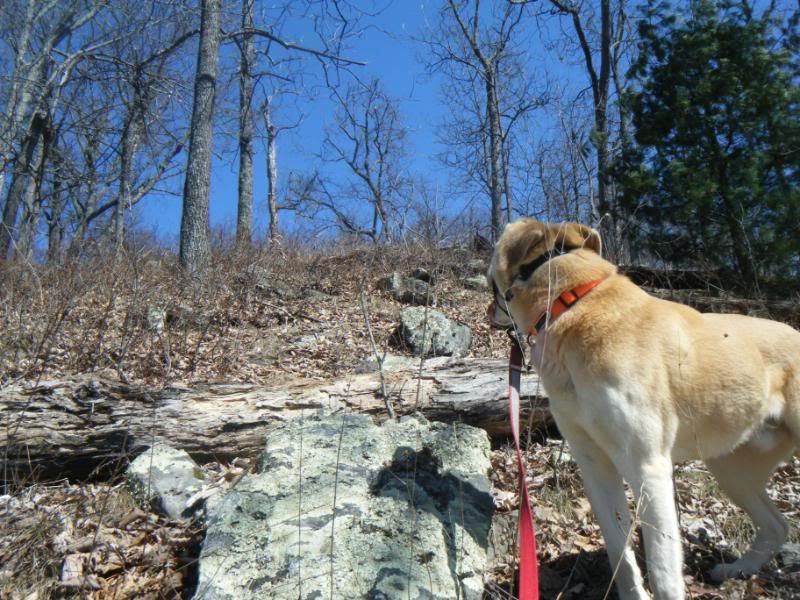
Pisgah, as seen from the top:
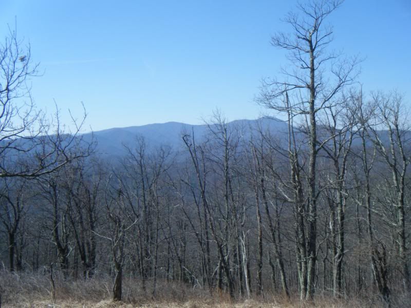
On the other side I could see Asheville, Skyland, Fletcher, the Cliffs, Ferrin Knob, everything. It looks like someone is using this old piece of rail for a summit marker. I'm not sure where it came from. There was no sign of old rail that high up.
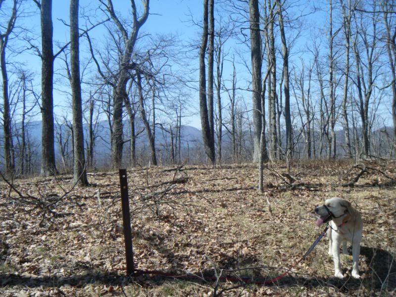
From there we headed East over the second little hump that makes it a Double Head. While the bushwhack up Brushy had been steep it was all in old growth hardwood forest but the trip over the second hump was through a very tight tangle of rhododendron that required me to crawl for a good distance.

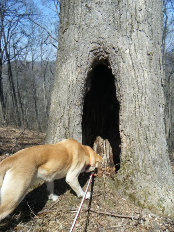
Once we got off the top of that mountain and started down the ridge to the gap the rhodo let up and it was actually a very nice walk. We found this hollow tree somewhere out there. It was big enough I could have stood in it but neither Duma or I were anxious to go poking around in there.
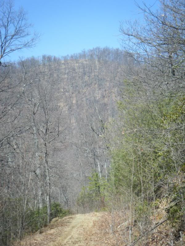
We hit 5001A easy enough and I started to go up to Double Knob but my stomach was telling me to head home so that is what we did. Down 5001A to 5001 and then down Bear Branch and back to the truck. Here is Double Head as seen from 5001, this is the face that I decided against going up. Looks steep to me!
My dog thinks I'm crazy tromping up and down mountains, ignoring perfectly good trails but he would follow me anywhere. Our route:
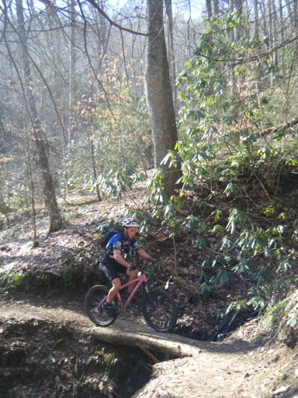
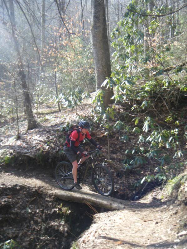
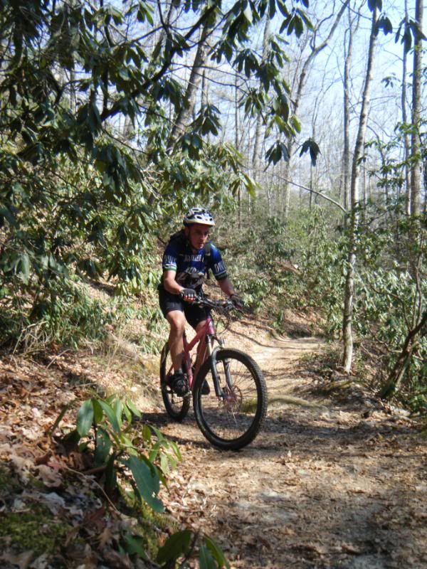
If I hiked Saturday that must mean I biked on Sunday, right? Dennis, Zach and David George and I all met at, where else, The Hub for what would be an interesting route selection. We had no plans and no leader and tried our best to improvise. After a little discussion it was decided we would ride up the North Slope and then do the mandatory hike a bike over to Horse Cove Rd. Up the trail, down the road. From there we were headed for Daniel but had forgotten that 475 was closed so we had to go up Cat Gap, up Butter and up Long Branch before going down 5095. Up the trail down the road. Once back out on 475 we realized our route wasn't working like we hoped and after more discussion it was decided the proper thing to do was head up Cove Creek towards Club Gap. Once we got out onto 225 Zach and Dennis decided to head for the beer by riding down 475B to 475 to 276. I couldn't bring myself to ride down another road and was not really done for the day yet so I turned left on 475B and finished my ride with an actual downhill - Bennett Gap.
35 miles, 8k climbing, an interesting route but I had fun!


My guess on the skull is possum... or chupacabra baby.
ReplyDeleteEW
There are a few goat trails connecting Moore Cove with 5001 too, if you don't want to use the road next time.
ReplyDeletesweet adventuree.
ReplyDelete