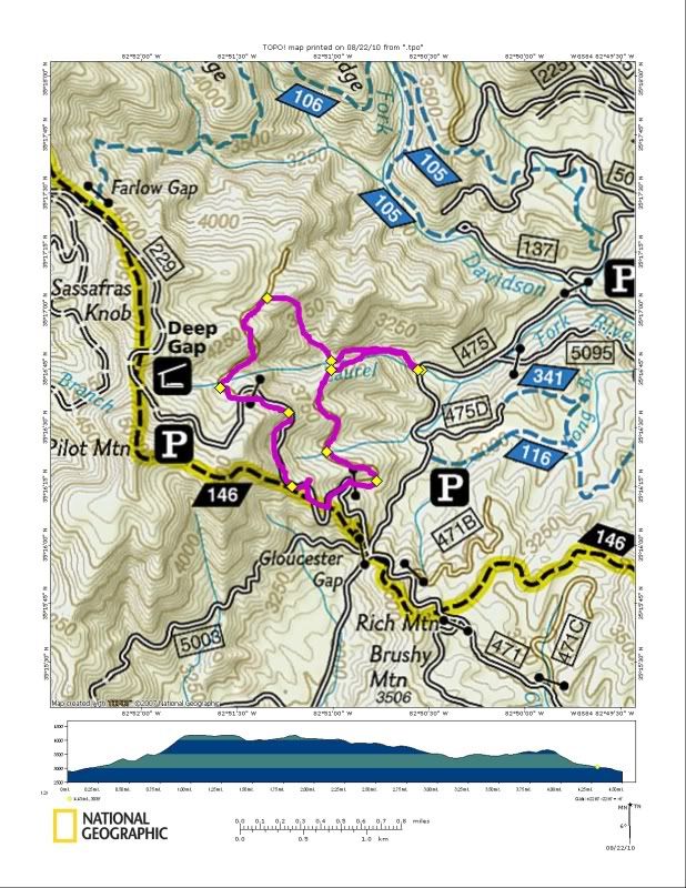
We parked at the bridge over Laurel creek on 475 and headed up the creek in search of rumored waterfalls and Indian mines. At first there was a trail and I was worried at first that it might be too easy but by the time I hit the fork in the creek it was clear if we kept going up this was going to be everything except easy. The trail, which appeared to be an old rail cut, disappeared immediately and we began a serious all out bushwhack. The creek was always visible as we picked our way through the thicket. Finding a waterfall out here isn't hard.

Eventually we found the waterfall. It appeared to be about 100' with a rock band at least as tall blocking the approach. We had to bushwhack a long way away from the creek to try and get high enough to approach it. If you look really close behind Duma in this picture you might catch a glimpse of the falls.
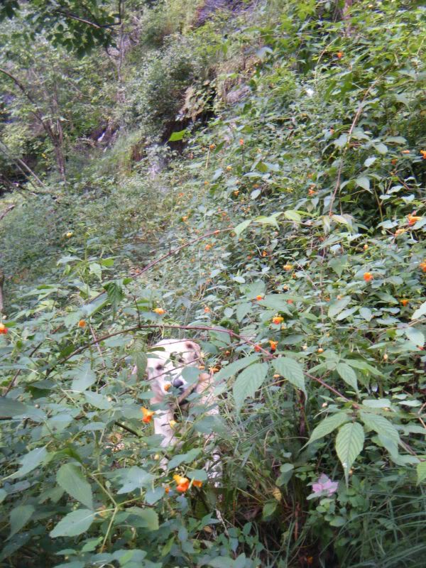
This was some serious shit. We really needed to be on the West bank of the creek but Duma couldn't make it through any of the paths I found so we continued to work our way up what was basically a sheer cliff. There were dozens of outcroppings and caves where I was too scared to pull out the camera but I have a feeling these might be the site of the rumored mines. There we several times when we got stuck and had to backtrack. We we were perched on this ledge for a good five minutes until he was willing to begin our retreat.
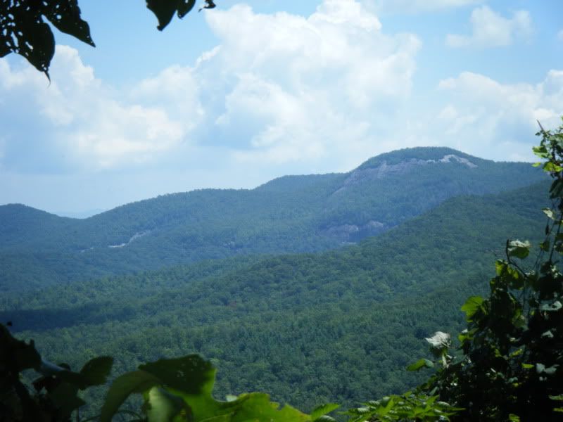
But while stuck up there I couldn't help but to look over my shoulder at out at the sheer beauty that is Pisgah.
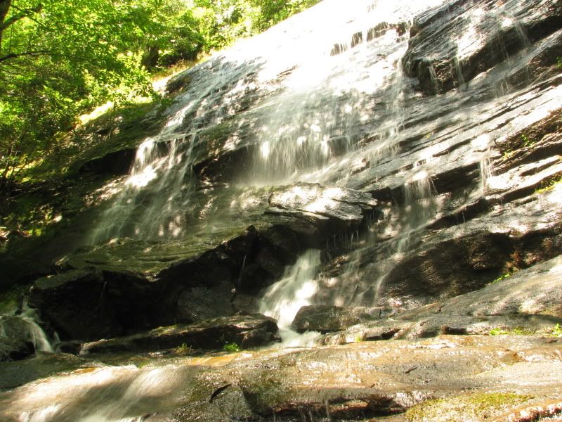
Finally we were able to get close to the upper part of the waterfall. This is just a tiny part of a very large waterfall. Its really funny because I carried my big ass camera and tripod all the way up there but wasn't able to get a vantage point that allowed me to shoot it.
From there things just got worse. We were away from the waterfall and rock band but the mountain was still very steep and we were stuck up there in a Rhodo ticket. It was so tight I literally had to crawl on all fours for an hour before we reached the wildlife road. Somewhere in the madness.
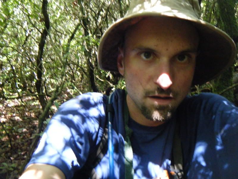
This road was the most welcomed sight I've seen in a long time. For those of you keeping score it is the third gated road on the right as you climb Pilot Mtn. Rd.
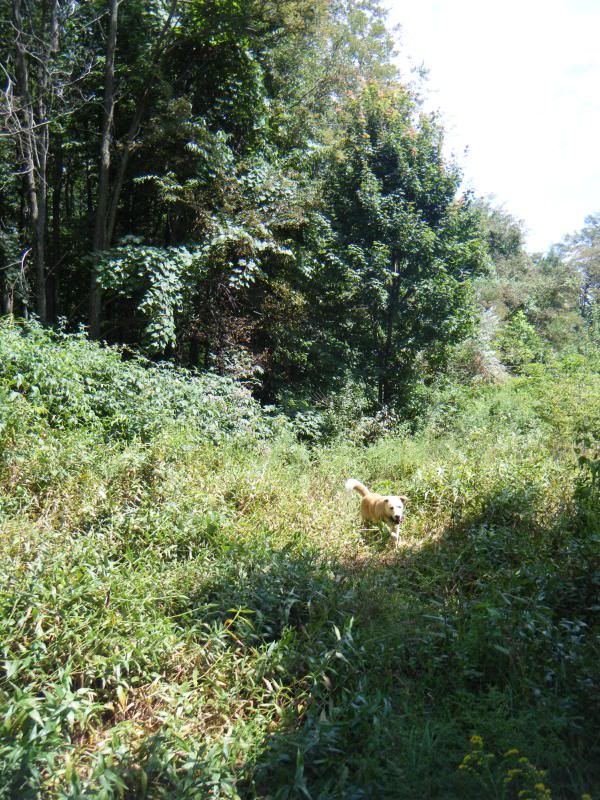
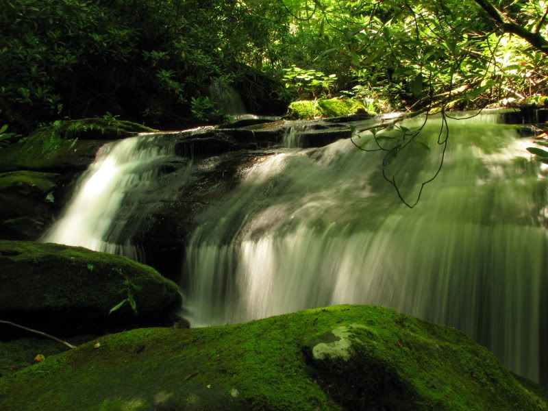
Ideally the plan was going to be to head West on the road until we reached the West Fork of Laurel Creek but one look down revealed another 200' of vertical cliffs so we went on to Pilot Mtn. Rd. A short jaunt on the Art Loeb and then left on another wildlife road. On to the end of the road and more bushwhacking back down to the creek. Holy shit that was hard! But we made it. Another couple of pictures of some cascades along the way and then we were back on the trail and back to the truck. An adventure for sure!

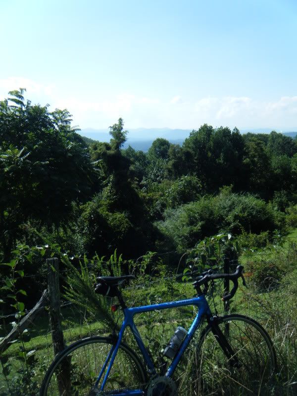
After that I dusted off the road bike and went for my first ride in a week. Time to start training!


WOW! I've been wanting to get to those two falls up close for awhile, I can't believe you bushwhacked up the creek to get there (and in shorts!).
ReplyDeleteCheck out an old entry from my seldom updated blog...
http://nthewoods.blogspot.com/2009/04/spring-camping.html
There are a few long range photos from across the valley at a bit of an overlook off of Cemetery Loop.