Patrick joined us at Fisherman's Sunday morning and we headed up Yellow Gap Rd. Our route for the day was:
1206 > Laurel Mtn. > Mtns. to Sea (hike) > BRP > Big Creek > Hendersonville Reservoir Rd. > North Mills River > Yellow Gap > 5050 > 1206
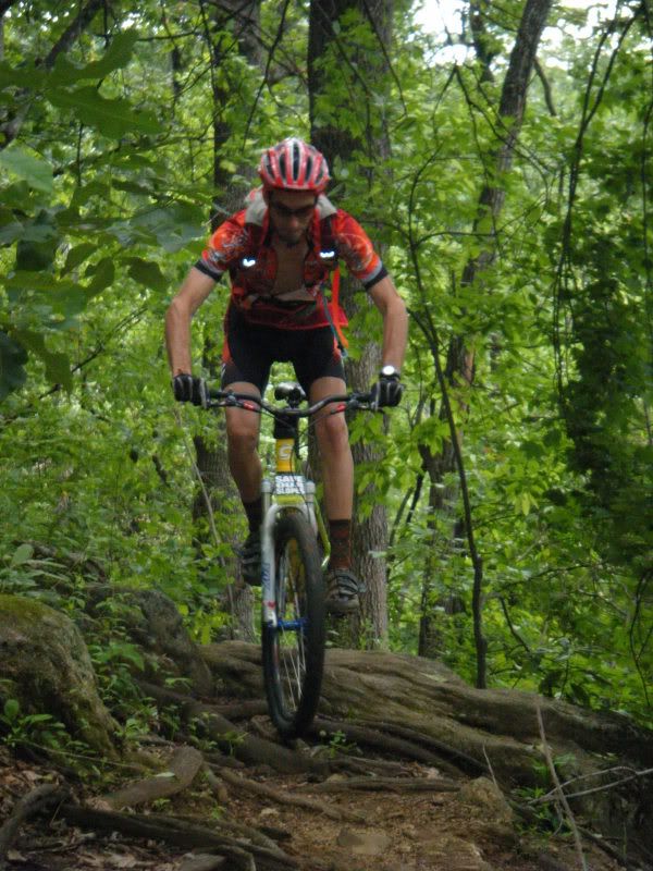
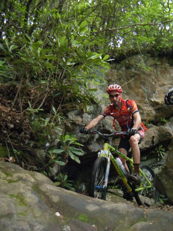
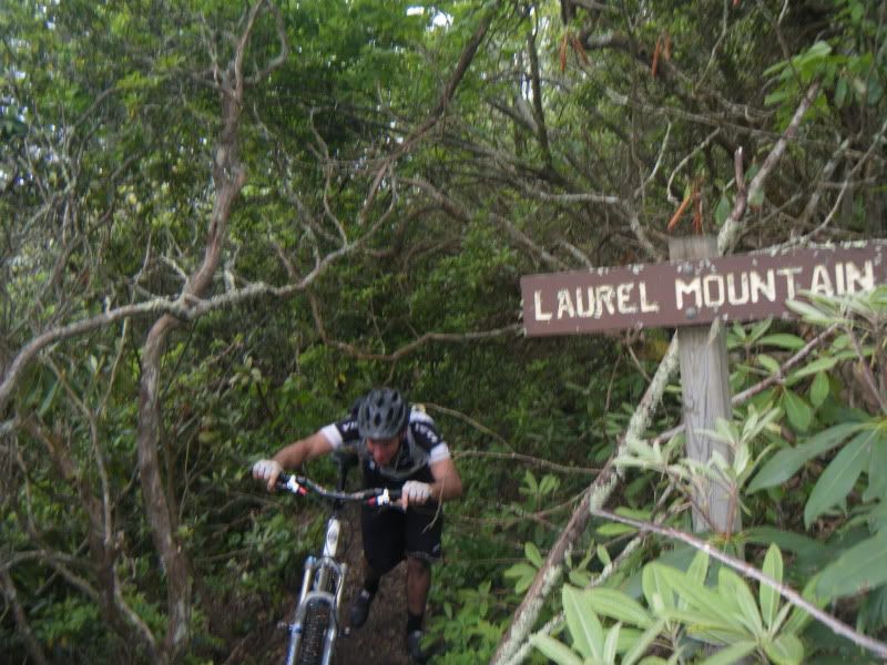
We made very fast work of the climb up Laurel during which Yuri put on an impressive technical riding display.
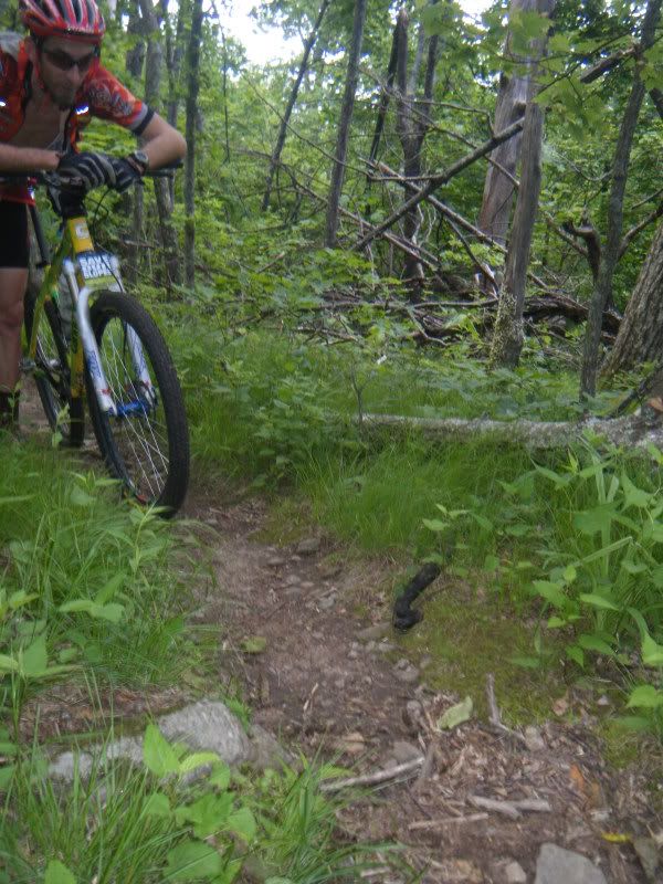
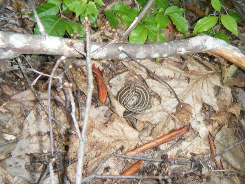
I almost ran over this guy hanging out near Good Enough Gap.
When Toby had run a marathon on these same trails a few weeks ago he told me that the stretch of Laurel between the Pilot Rock Connector and the parkway was covered in dead fall and that getting a bike through it would be difficult. He wasn't kidding. This is the worst stretch of trail I've seen from this winter's storms. It is covered in big trees (not just crowns and branches) and there is simply nowhere to go around it. Ouch.
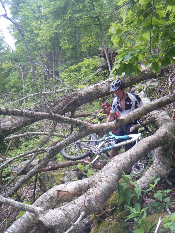
We made it through it somehow and made our way over to the Mt. Pisgah store for some refreshments.
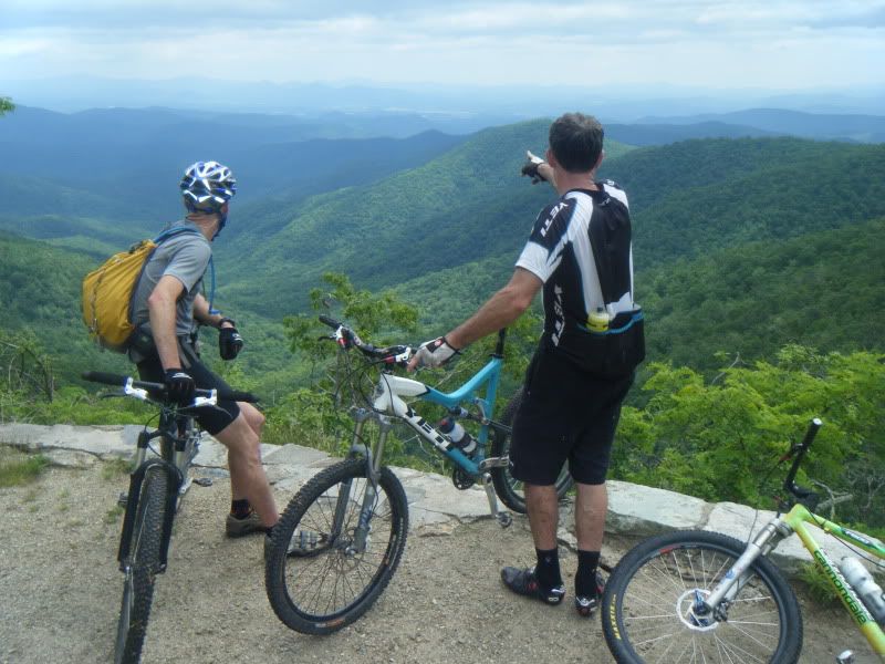
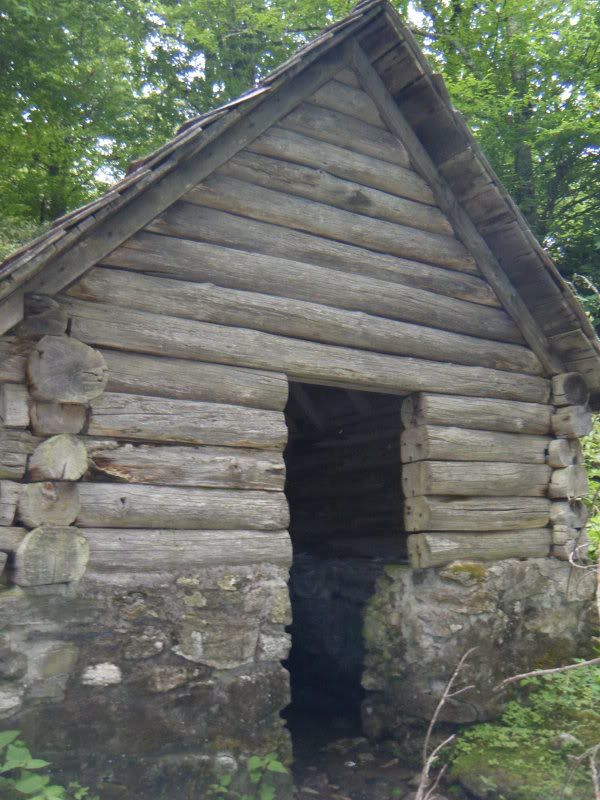
We had discussed the possibility of hiking to the top of Mt. Pisgah but it started to threaten to storm so I made the call that we would just head down Big Creek. We paused long enough to check out the view as well as Buck Spring itself.
Somewhere on the downhill Patrick dropped his camera so we spent a little time looking for it while this guy hung out by the bikes.
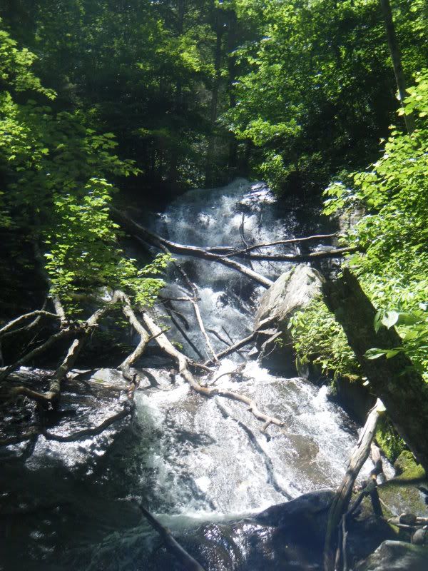
Much further down the trail me and Yuri did a quarter mile bushwhack/stream scramble to check out a hidden 30' waterfall that he knew about. Very Nice.
The route was entrusted to me and neither Yuri or Patrick know me well enough to veto my ideas so we took North Mills River trail to Yellow Gap to get back. Another half dozen river crossings and a mile and a half singletrack climb to end the ride. Why not?


Erinna hiked in from the parkway to Turkey Pen Gap to set up the PMBAR CP. She did it with the CP on her back and 4 month old Zoe in a front carrier! Ouch! She hiked out pilot connector->pilot->m2s....
ReplyDeleteEW