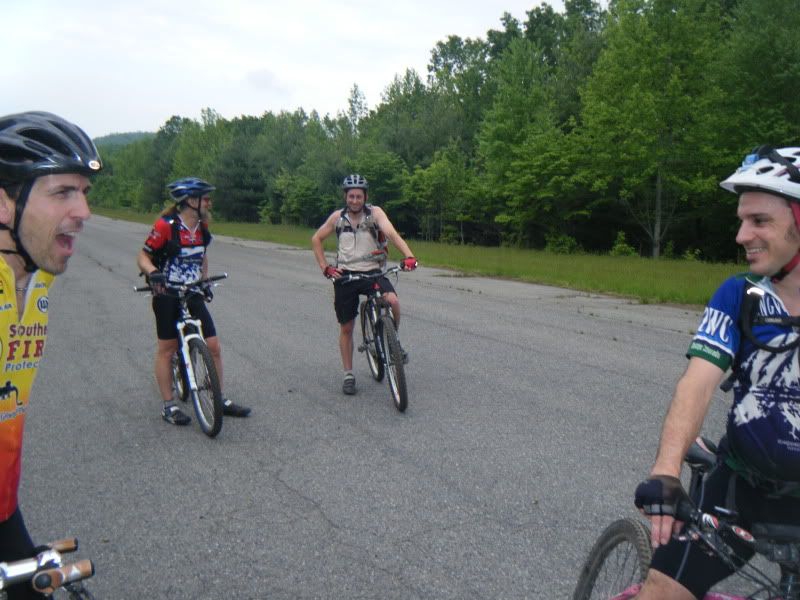
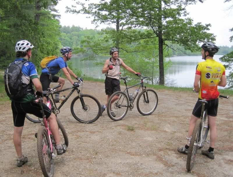
What happens when you put a type a control freak and a contrarian together? We make a right onto Joanna when everyone else seemed to be headed straight for the beer. I still don't know my way around Dupont that well. Our route looked something like this but even with the help of my map I'm not sure what the right turn we made on Joanna was.
Lake Imaging > Buck Forest > Conservation > Lake Julia > Reasonover > Lake Julia > Camp Summit > Conservation > Airstrip > Shelter Rock > Barn > Conservation > Joanna > ??? > Joanna > Grassy Creek > Sandy > Tarklin Branch > Thomas Cemetery > Buck Forest > Issac Heath > Jim Branch
It was a fun ride and smiles were abundant. I'm seriously done trying to go fast or 'train' for anything for awhile. I'm just gonna ride my bike!


Yesterday I had to go to Penrose after work so I scooped up the dog and took him down with me. After we made the necessary work stop we headed to Pisgah and ran the North Slope real fast. It was sweltering hot and humid and I was glad I brought my margarita sports drink with me (I've seriously been experimenting with this. I've learned that I need more electrolytes and I seem to have stumbled onto something that just might work!). We ran the loop in the same time it would have taken to ride it. Hmmm....
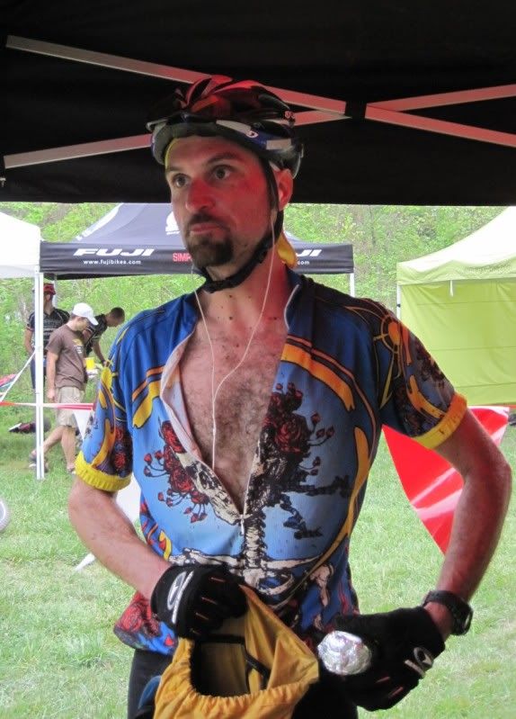
Here's a pic Carlos took of me at the pmbar finish. I hope Toby looked as good.


Stashing the burrito.
ReplyDeleteYou are correct that you got the last half of the ride turned around.
ReplyDeleteFrom Johanna -> left turn onto Oak Tree Trail -> Chestnut Oak Road -> Buck Forest -> Lake Imaging -> Locust -> Jim Branch