Wednesday, August 26, 2009
Monday, August 24, 2009
Cattail Peak Wheat
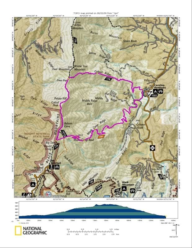
Our plan was to do a big loop starting and ending at Carolina Hemlocks going over the top of Mt. Mitchell and Cattail. We would camp at or around Winter Star Mountain and then come down Colbert Ridge the next morning.
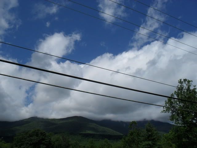
On the drive up once Mt. Mitchell appeared the apprehension grew as it became clear that we were about to climb a mountain:
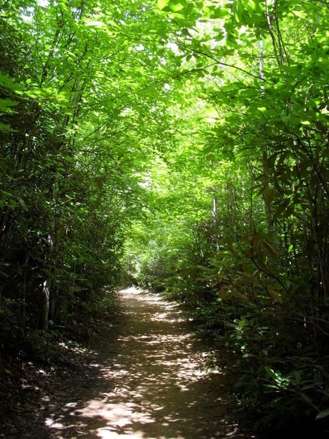
Things started innocently enough on a nice wide trail bathed in sunlight:
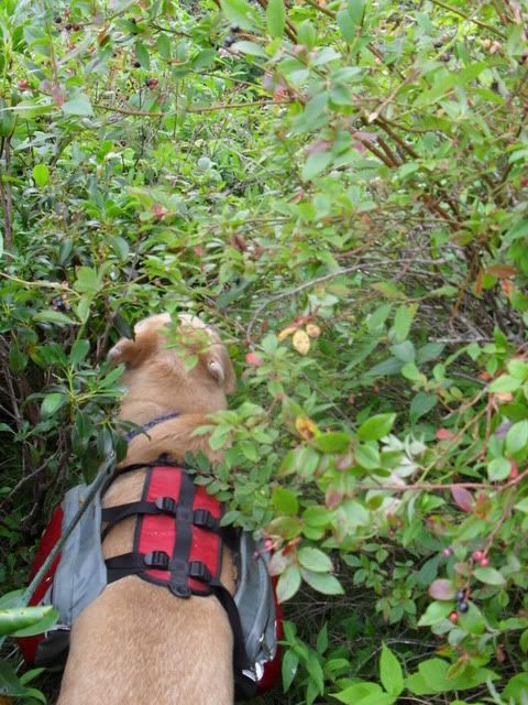
The trail quickly got steep, then rocky, then completely overgrown in berries. Walking down it was like being at an all you can eat berry buffet:
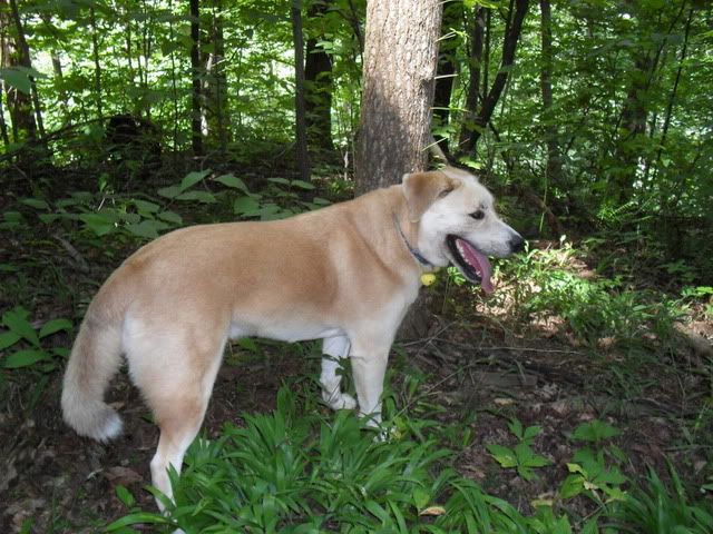
We stopped at a seep for Duma to get some water and heard voices coming down the trail. Three guys appeared and before I could say hi I realized they were not American and things were not exactly right. They were not dressed for a hike and were each carrying a big green army duffel bag that was full of something. I could tell the bags were very heavy and the men were not expecting to see anyone on the trail. It is too early to be harvesting pot, but they could have been carrying supplies. Or maybe they were just full of Galax? About a half mile up the trail I could easily see where they had dragged the bags onto the trail but wasn’t about to go investigating.
By this time we were well on our way up the mountain and the weather couldn’t have been nicer:
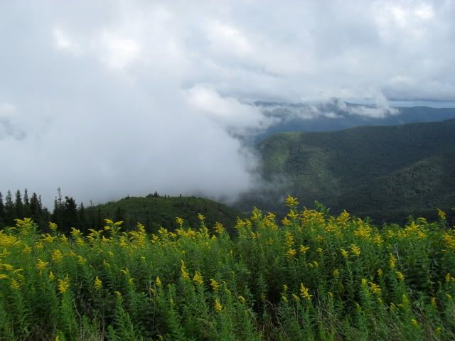
After having already gained 4000′ vertical we stopped briefly at Maple Camp Bald and stared up at the peaks still 1000′ above us and watched as the weather swirled all around us:
When we got to the Big Tom Connector there was an angry and very protective dog with some hikers that wanted to kill me and Duma. This dog was vicious and barely under his owners control on a 25′ retractable leash. I didn’t like the look of the weather or the dog and decided to take the shorter route up the connector. I don’t know what happened but we quickly lost the trail and ended up doing a 500 vertical foot bushwhack/scramble up to the top of Big Tom. It was impossibly steep and Duma insisted on stopping to rest many times.
Once on the top of Big Tom I stopped for a snack and as I was looking at the map the thunder cracked and lightning struck very close to us. The heavens opened and we were suddenly in the middle of a big storm on the top of the highest ridge on the East Coast. I made a instant decision that our best chance was to flee for lower ground. Instead of heading South for the Mt. Mitchell summit I bailed and headed North for Cattail instead. We stopped under a Hemlock tree to don my rain gear and a big snack for Duma and then took off across the Back Mountain Crest Trail in the middle of a tempest.
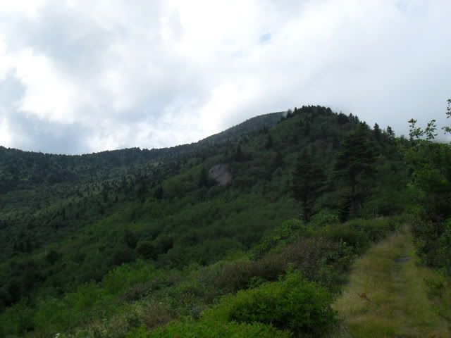
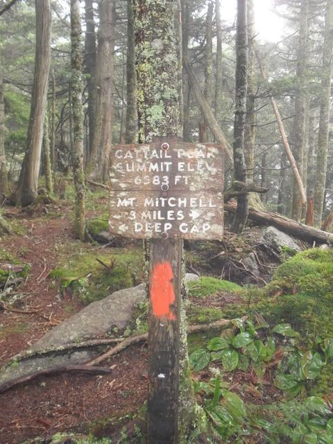
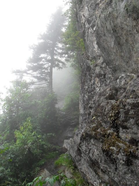
The Crest trail is a high ridge run that makes the top of the Black Mountain trail in the Pisgah District look tame. It is like a sordid game of shoots and ladders. Somewhere in the middle of it we passed over the top of Cattail and the rain let up just enough for me to pull the camera out:
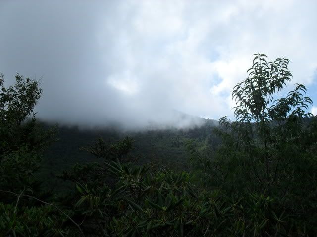
The storm picked up again and if there was a place to stop I would have but on the high ridge the terrain was unforgiving:
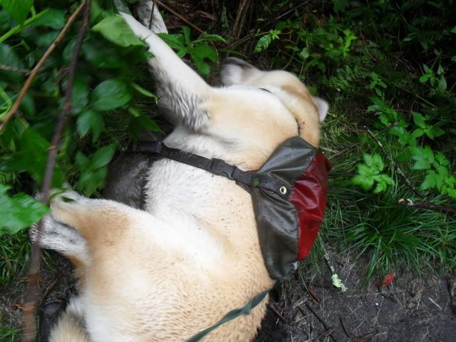
We made it to Deep Gap and the turn to Colbert Ridge in very good time. Though the storm was over we were both wet, tired and haggard:
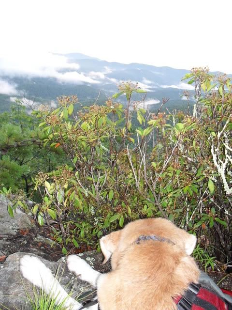
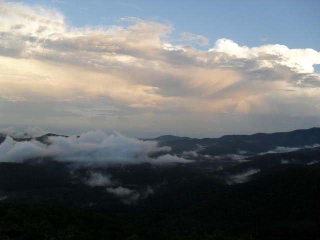
We had a decision to make: set up camp or head back down to the truck. The storm was gone, for now, but we were both wet and not exactly comfortable and the truck was only four miles away. But it was almost 8 and would be going down in the dark. Dark versus cold and wet is an easy decision so down we went. We stopped at the first overlook to soak in the views and sunset one last time:
I put on my headlamp and had a little safety chat with the dog and then we took off down the trail. We ended up running most of the descent and made it back to the truck much faster than anticipated. We are both still feeling it today, three days later.
Thursday, August 20, 2009
Wed.
Dog Walk in the Green: Long Ridge > Turkey Gut
WNDC: Mine > Cart > Shoals > Corn Mill > Little River > Cedar > Big Rock > Corn Mill > Longside > Pine Tree > Staton > Buck Forest > Bridal Veil > Corn Mill > Laurel Ridge > Shoals > Mine
Tuesday, August 18, 2009
Wild 100!
The Wild100 is PMBAR West Virginia style. Starting and ending at the Elk River Touring Center riders race to reach five checkpoints, in order, for roughly 100k of distance. Riders in the Plus Category get an extra checkpoint.
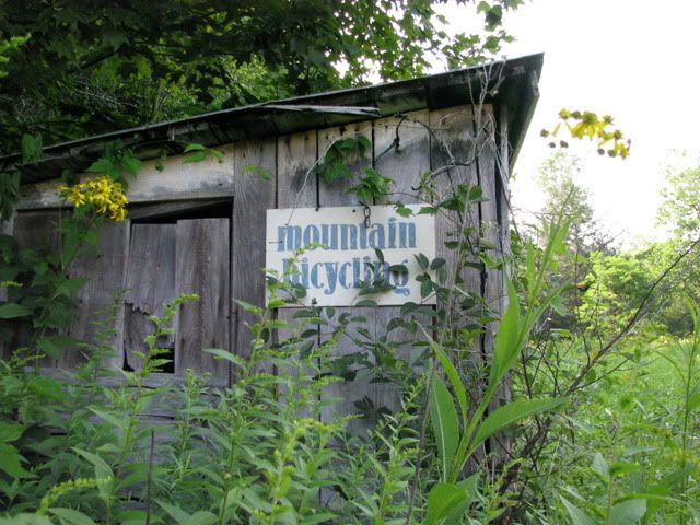
The Elk River Touring Center (ERTC) is a nice relaxing place and with that in mind I decided to make a long weekend of the event with Terri and we headed up on Thursday and stayed on the property in the Farmhouse until Sunday. There is a picture of the first mountain bike race held at the ERTC. It is dated 1986 and they have had a mountain bike race on the property every year since then.
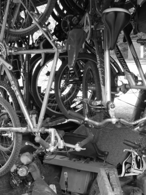
The place is full of random bits of bicycle history:
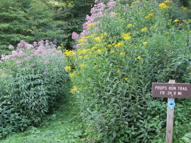
Thursday evening I did a quick out and back up Prop’s Run to get a feel for the bike and woods. In just 45 minutes I saw a hawk, a deer, an owl and a bear. The trail head is right out the door of the ERTC and minutes after finishing the ride we were enjoying a nice dinner in the restaurant.
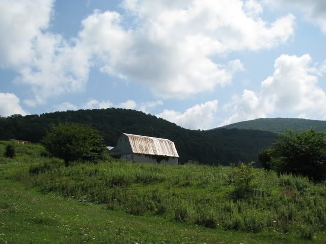
Friday Terri and myself went down to Marlinton and checked out the Greenbriar Trail where she would be doing a 15 mile on Saturday. On the way back we stopped at Gay Sharp Knob where I had spent over an hour last year struggling to find the checkpoint. We set off up the road to the barn:
Once at the barn I played with my map and compass for a little while and tried to find the way to what was sure to be a checkpoint.
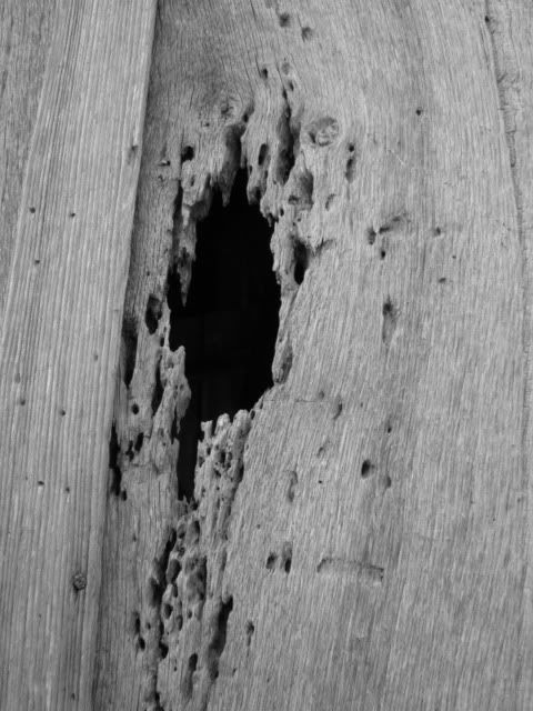
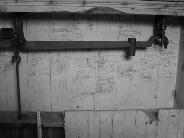
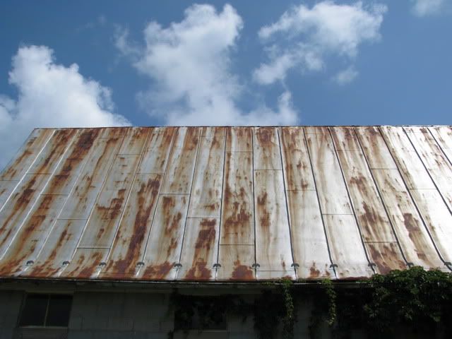
After I felt I knew the way we just hung out for awhile and I played with my camera around the old barn for a bit.
Then it was on up the road to Snowshoe where we wandered around a little bit and looked at the downhillers. The area has a lot to offer cyclists! Cap the day off with another dinner in the restaurant that couldn’t be beat and with a few early morning fireworks it was on to the race.
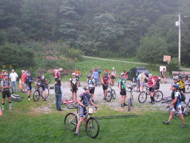
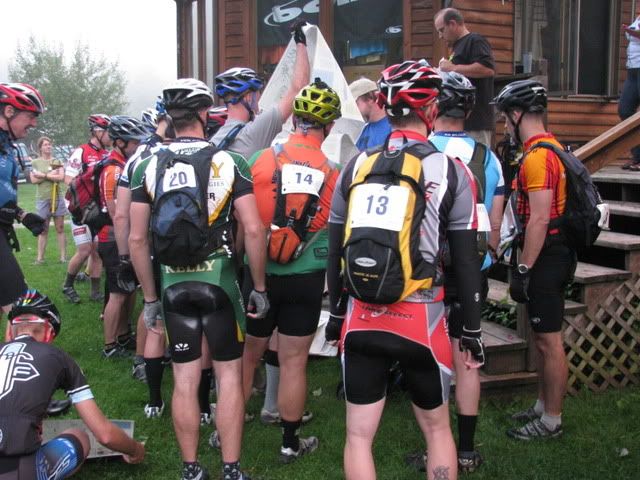
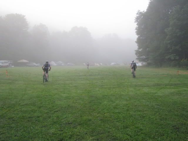
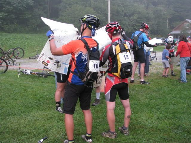
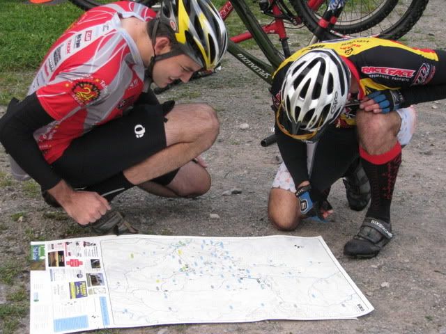
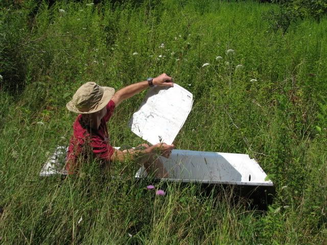
At the pre-race meeting Gil, the owner and promoter, said that the only pavement that would be allowed was ½ mile down the road to Mine Rd. and I realized that the course was going to be nothing like last year’s. I was part of the mad frenzy of trying to be first to get a map:
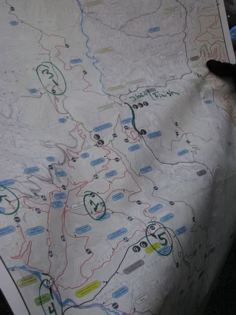
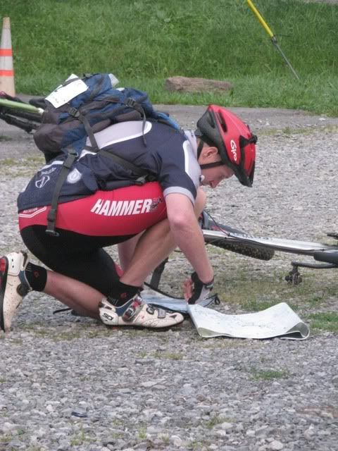
As I walked towards my bike I took a look at the map. All I was looking for was where the first checkpoint was and the fastest way to get there. I knew I would have to look at the map repeatedly so I figured my best bet would be to focus on one checkpoint at a time.
I saw number 1, saw that up Mine Rd. was the way, stuffed my map into a jersey pocket and took off off as fast as I could.
I was the first one off but these three guys beat me off the property by going through the camping area while I went the long way around the driveway. Local knowledge is worth a lot and I knew I would have to ride hard and fast to make up for the time I would spend on navigation if I wanted to be competitive.
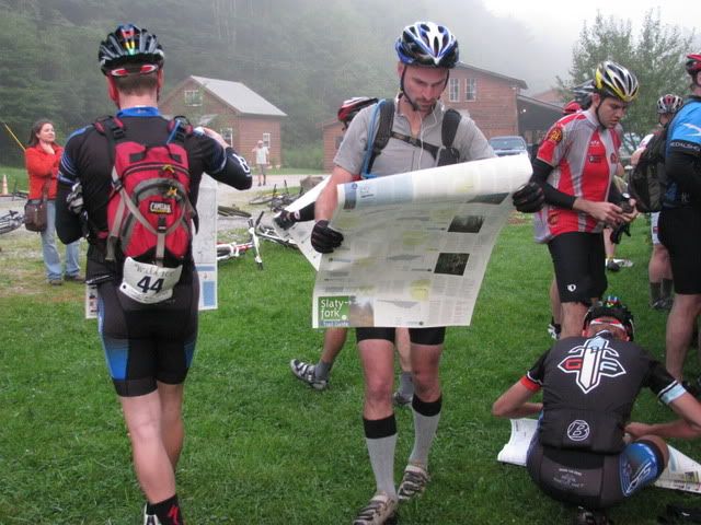
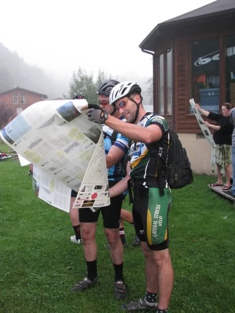
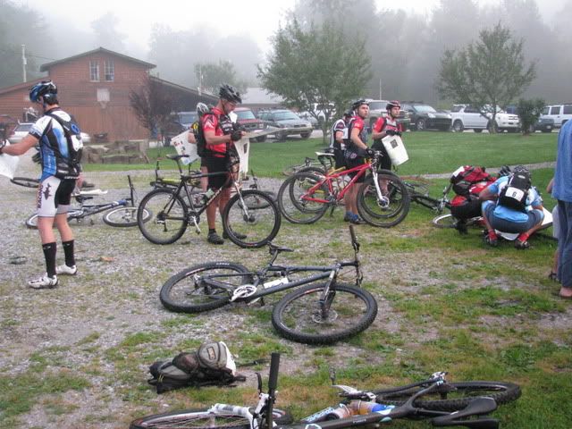
While I was battling geared riders out on the flat asphalt most of the field was still at the ERTC taking the time to properly look at the map and carefully fold it.
Some riders carefully folded their maps while others gave the cp locations the utmost consideration.
Meanwhile I was out on the gravel forest Mine Rd. trying to reel in some of the riders that got ahead of me on the highway. I wanted to get a decent jump on the pack and worked hard on the steep climb and passed most of those who had passed me but was not able to catch the two lead riders. I went by two single speeders who told me to “spin to win” and that was exactly what I planned on doing.
I pulled my map out while climbing to pin point exactly where my turn was and then haphazardly stuffed it back in my jersey pocket. I made the turn onto the Gauly Mtn. Turn still in third place knowing that the rest of the fast guys were just behind me. When I got to the first turn I reached for my map and it wasn’t there! I didn’t know my way around and didn’t know where the checkpoints were and quite simply had to have my map so I had no choice but to turn around to look for it. As soon as I did I realized that any hopes of being competitive were essentially over. I had to go almost all the way up Gauly and a good 15 riders passed me before I got back on track. The reason I lost it was because of my haste and I wished I had taken more time at the start like most of the riders.
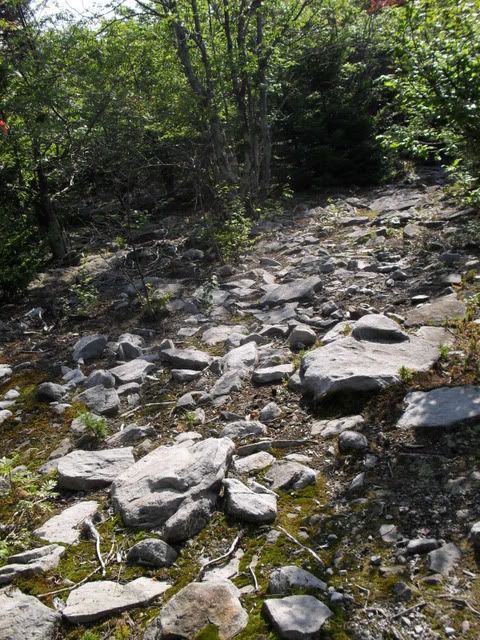
The first checkpoint was near the bottom of Red Run which is a rocky and rooty beast of a trail and I was struggling on the unfamiliar terrain. I pulled into the first CP and tried to make sense of where number two was and what the best way to get to it was. The best way was clearly to backtrack back out to the gravel road but I really didn’t like the idea of walking back up Red Run and then riding up Gauly again as I had just done to get my map. If I would have taken the time to look at all of the CP’s at the start I could have left the map when I first lost it and then just picked it up on the way to #2. Shit!
Oh, well. I decided to take the long way to number 2 and go up Right Fork to Tea Creek Mountain and then climb Bannock Shoals to the CP. This route was the most rideable but also the longest by far and included a big climb that the other options lacked. I justified it by telling myself I like to climb and the Tea Creek Mtn. downhill is sweet. By the time I hit the meadow at the base of the mountain I was pushing and second guessing myself.
As I was crossing the huge rock garden at the top it had already been over an hour since leaving cp1 and I knew other riders were reaching 2 by then and I still had a long way to go.
I broke my frame on the Tea Creek mtn. downhill last year and this year the bike held together but my hand really started to hurt. No time to stop I had to make up for lost time due to losing my map and picking a bad route. I hit the campground and headed straight for Bannock Shoals. Knowing that I had to gain time on the climb I gave it everything I had and was rolling through the CP right at the 4 hour mark. Two riders passed me going the other way just before the cp and I knew that they must have already been to 2 and 3! I shouted my number as I went through and shortly after a few groups of riders were coming the other way and I was relieved to know that I was still ahead of the main pack
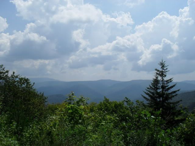
A rider caught me out on the gravel and we chatted for awhile as we made our way to cp2. The gravel roads were mainly flat but had just enough hills that I was able to stay ahead of the main pack of geared riders. The checkpoint came easy enough and then it was just a quick turn around the way I had just been to the campground and cp3. I did try and soak in the views along the way.
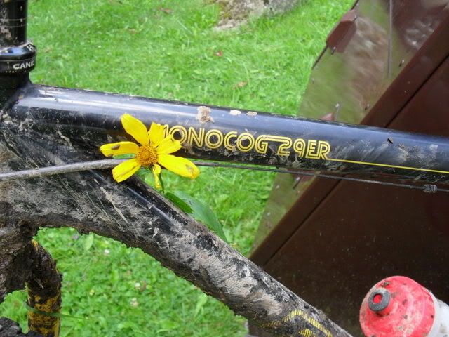
Down at the campground I filled my water bottles and snapped a quick picture of this flower that had hitched a ride with me before heading up Tea Creek Mtn.
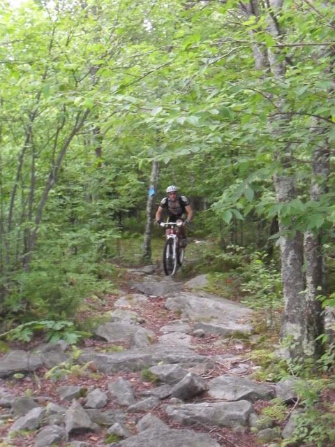
I had just been down this trail and knew it was going to be a hike-a-bike and was just hoping it would be less than two hours. I tried to ride and passed a few guys but it was way too much work and I resigned to walk to the top. The guys I passed caught up to me and we chatted on the way up. We hit the rock garden right at the hour mark.
Then it was a quick downhill back down to the meadow and cp5. I had already been to both 4 and 5 on my way to cp2 and was reminded of my foolish route choice upon reaching 5. When they told me that cp6, which had been kept secret, was the top of Prop’s Run I wasn’t surprised. It was the furthest most point from my current location and made the most sense.
Riding out Gauly to the gravel roads that would take me to the top of Prop’s my hand pain started to become unbearable. I dropped some tire pressure and was having to stop repeatedly to rest my hands. The gravel could not fast enough.
I knew there were still some Plus riders behind me and would have to keep going as hard as I could if I wanted to hold them off on the flatish gravel and then the long Prop’s Run downhill. The end of the race was very unspectacular. The gravel road spin was long and lonely and then Prop’s Run was a long slow gradual downhill where I was sure another Plus rider was finally going to catch up to me. By this point my hand pain was severe and after a few minutes of riding it was pretty much blinding and making me nauseous. I was pausing frequently and wishing for an excuse to walk. I stopped and dropped my tire pressure to the point where I could feel and hear every rock against my rims. I was gambling with getting a flat but was willing to take that gamble. Somewhere along the way I realized I didn’t have my map anymore. It didn’t matter I knew the way and wasn’t about to turn back.
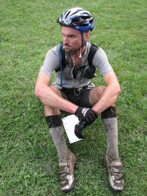
After 10 hours and 14 minutes I finished and got 6th place out of it. The next rider was just 15 minutes behind me. I had been going as hard as could go all day to make up for my mistakes and was spent.
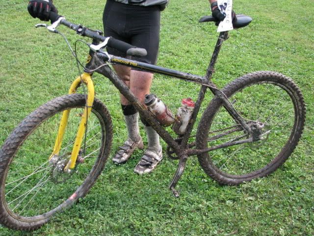
No new bike this year.
The beer and food was flowing and the relaxed party atmosphere carried on into the night.
I can’t wait to go back next year!
Monday, August 17, 2009
Counting Out Time
anyway I’m back from the Wild 100. I have a ton of pictures and whatnot to sort through so in the meantime here are some basic numbers:
1 map.
6 checkpoints.
2 times I lost the map.
9 shots of gel.
2 pb&j’s.
1 banana.
1 mini mountain dew.
1 clif bar.
0 times I opened my pack.
1 navigational error.
10.25 hours.
6th place.
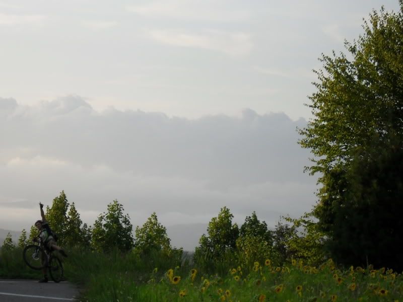
Here I am on the way to Gay Sharp Knob:
Much more to come tomorrow.
Thursday, August 13, 2009
Wednesday
Anyway the splinter WNDC group did an out and back to Hospital Rock. It was swell:
Monday, August 10, 2009
Berry Picking
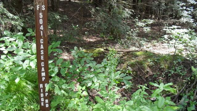
When we turned around at the top and headed back down Case Camp to 475B and then went across the road to the wildlife road:
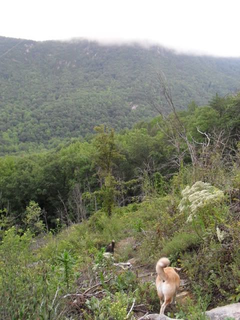
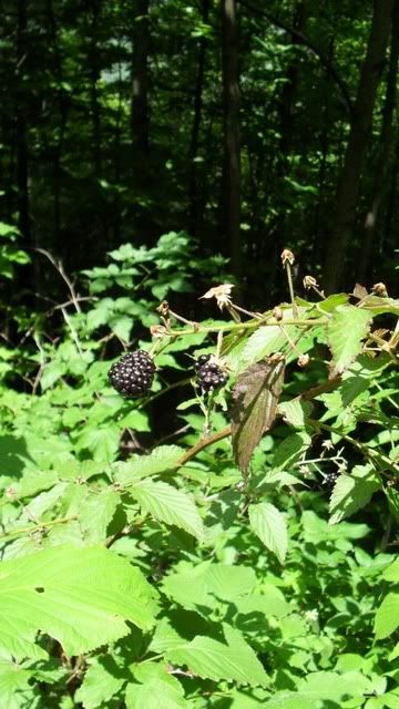
The trail was lined with Blackberries and I let Duma roam while I picked for awhile:
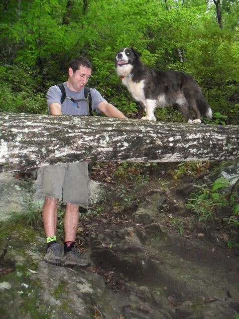
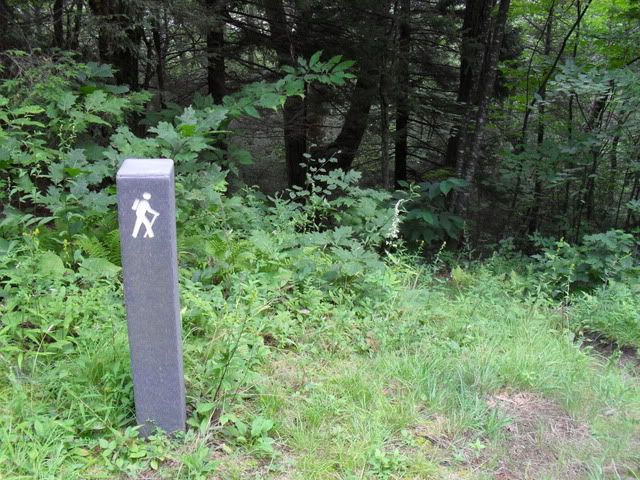
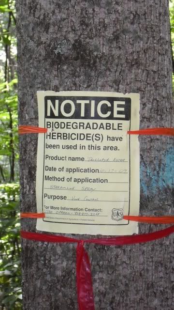
When we got to this sign I decided not to pick anymore berries:
We connected the end of the road to the start and made a loop out of it.
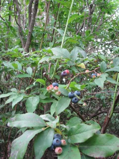
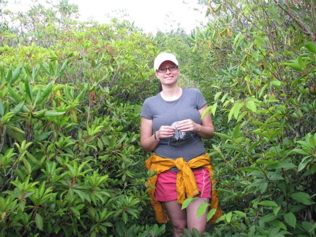
Sunday Terri, Duma and myself all headed up to Black Balsam to go blueberry picking. It is still early but I had a hunch there might be a few. We headed out Ivestor Gap and ignored all the early side trails. I kept telling Terri I knew just the spot. That spot, of course, is the Fork Mountain trail. It is hard to spot I had a feeling there would be berries there. After a little investigating we headed down the trail and had a nice lunch before we started picking. They were everywhere:
We picked and picked.
Then we picked no more and headed down the road.
Saturday, August 8, 2009
Friday
Thursday, August 6, 2009
Tuesday, August 4, 2009
Black
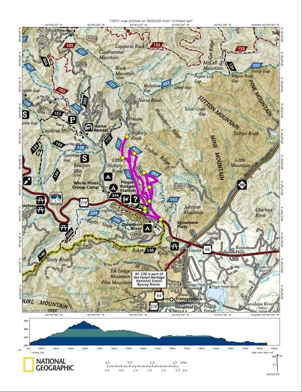
Black (out and back to the top of Hickory Knob) > Thrift Cove > Grass Rd. > Sycamore Cove.
It was a nice way to spend an hour.
I met Jonathon and Dennis at the bottom of Black on Sunday morning for a fun little ride:
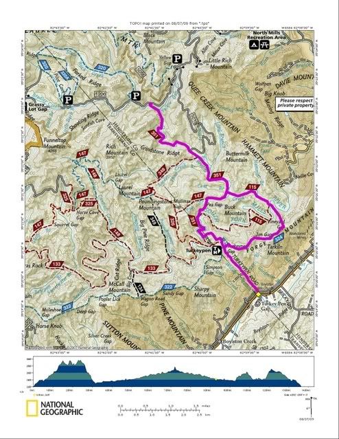
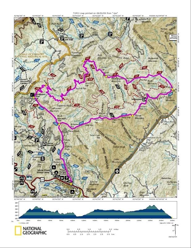
Black > Turkey Pen Gap > Vineyard Gap > Riverside > Bradley Creek > Squirrel Gap > South Mills River > Buckhorn Gap > Black
We started by going straight up through the thick early morning fog:
It is hard to tell but if you look carefully you’ll notice that Dennis is in the middle of the big switchback on the way up to Hickory Knob. He made it!
At the knob there was a brief pause and then we went all out for Turkey Pen. Dennis was trying to see how much he could ride and I was trying to see how fast I could push and managed to beat him to the turn onto Turkey Pen. By this time it was raining pretty good and there was nothing to do but push on.
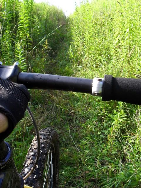
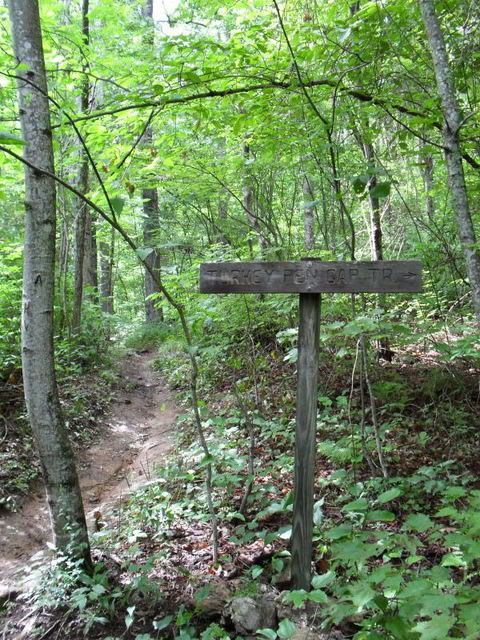
Turkey Pen is always sweet. It was very wet and very overgrown and just like on the climb up there was no letting up on the downhill expect now Jonathon was way in the lead and I was way in the back. Everything was very wet and sketchy and I was happy to be following from a safe distance. I manged to catch back up at the first hike a bike and then rolled through the next several gaps just off Dennis’s wheel. There was some pushing again but we hit the Turkey Pen parking lot in good time with Jonathon well in the lead from the final downhill.
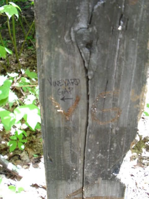
Vineyard Gap is just a continuation of Turkey Pen Gap and we rode it much the same. I tried to see how much of it I could climb and managed to surprise myself. There were more than a few ‘oh, shit’ moments but I held the lead all the way to the top of the final descent where I happily pulled over for the faster suspended riders.
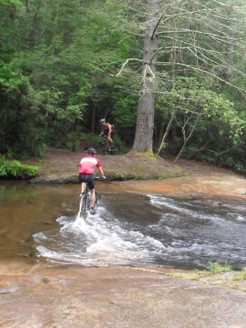
I made two of the river crossings on Riverside and managed to get confused for a moment as to which way to turn on Bradley to get to the bottom of Squirrel but a moment was all it took and then it was up and all the way around Squirrel as fast as we could go. Just like before I set a good pace on the climbs while Jonathon tore up the downhills. I was feeling really good on the initial climb and was way out front when my front brake decided to get fucked up and I had to stop and fix it. The spring somehow got bent and caught between the pad and rotor and destroyed the pads. I bummed a set of pads off Dennis, called my mommy to see what time I had to be home, and off we went. I felt good on the climbs but the rocks, roots and logs were so slick that I had a hard time carrying any speed on the way down. Always a good day when you ride all of Squirrel.
The Buckhorn Gap climb just feels right to me and I took off up it pushing it as hard as I could. I kept the cranks turning and made the gap in record time. Dennis had to bail down the road due to a prior engagement but Jonathon and myself pushed on over the top of Black:
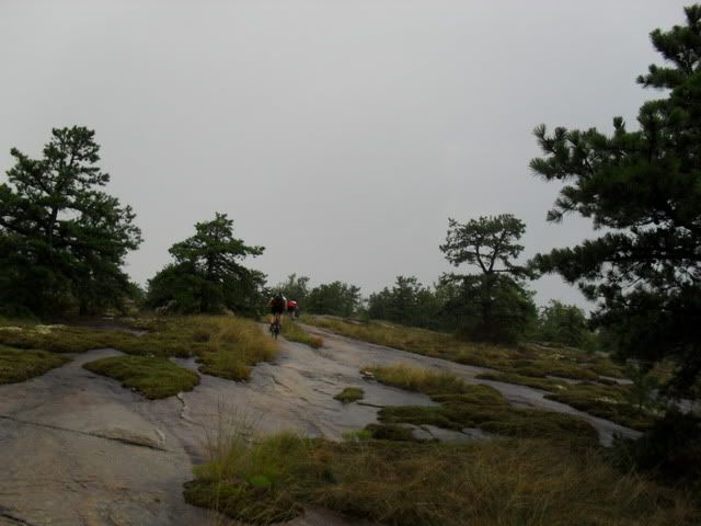
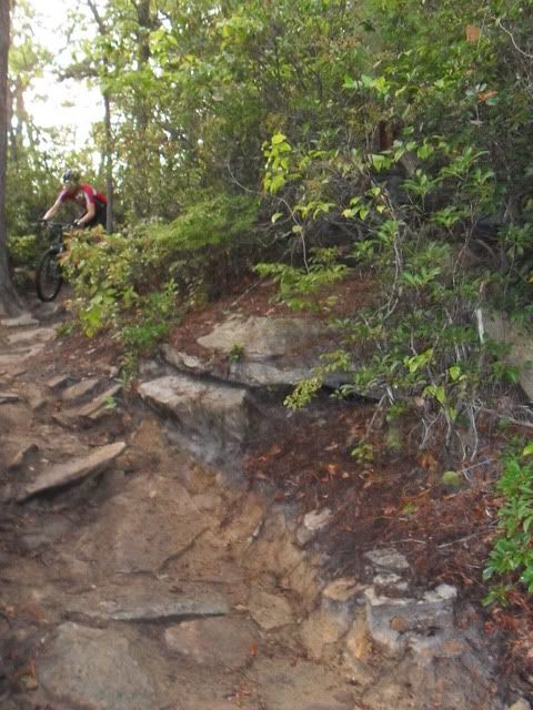
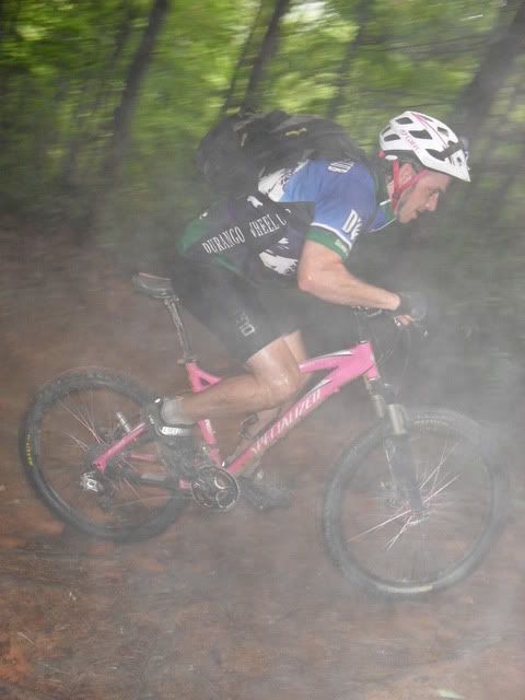
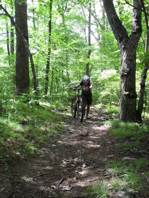
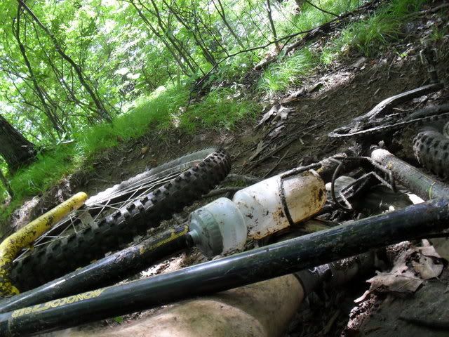
I was being stupid and was trying to see how much of the climb I could ride and actually managed to ride a fair bit of it. Eventually I crashed and used that as an excuse to walk for a bit:
Obligatory:
Deja Vu:
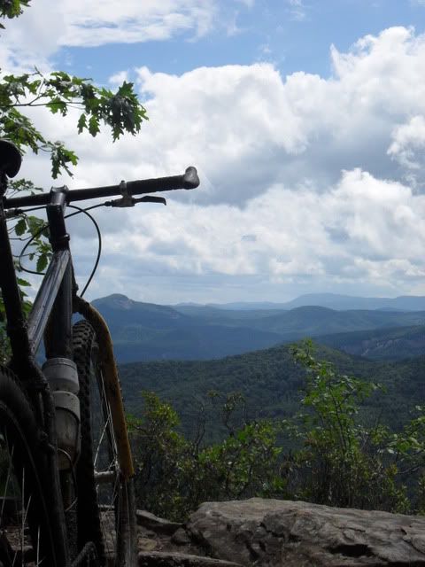
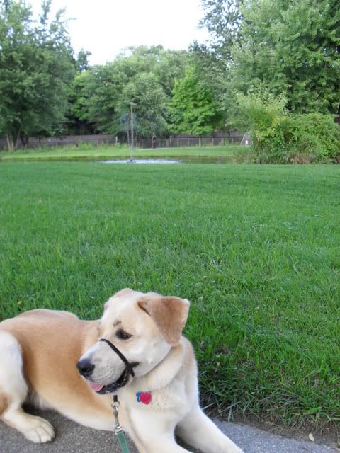
I had gone out hoping for 10,000′ but that is ambitious and this 8700′ hurt just plenty. Afterwards the best I could manage was a walk in the park:
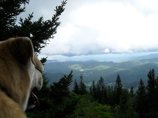
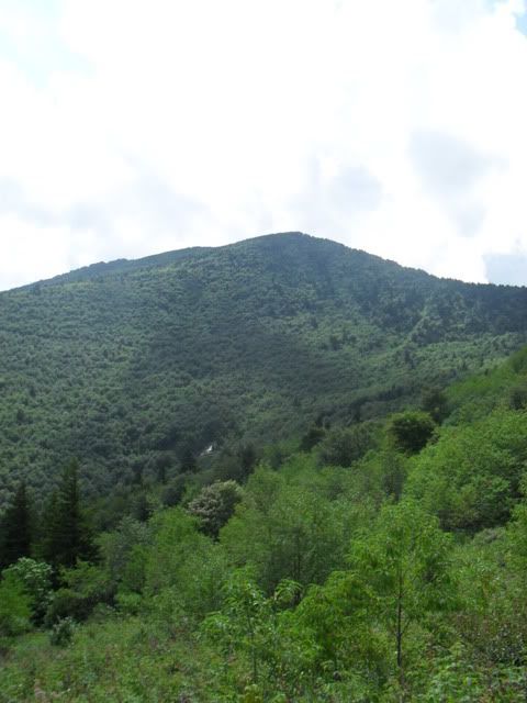
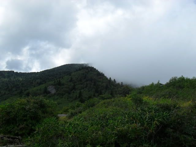
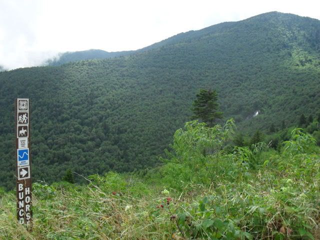




No comments:
Post a Comment