ursday, May 28, 2009
The Wagon Doesn’t Stop Here
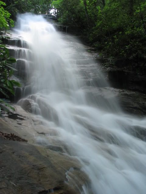
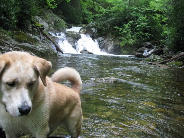
We were headed for Rainbow Falls but once on the trail there was another group in front of us headed there as well so we stuck to the main trail and went to some other waterfall instead:
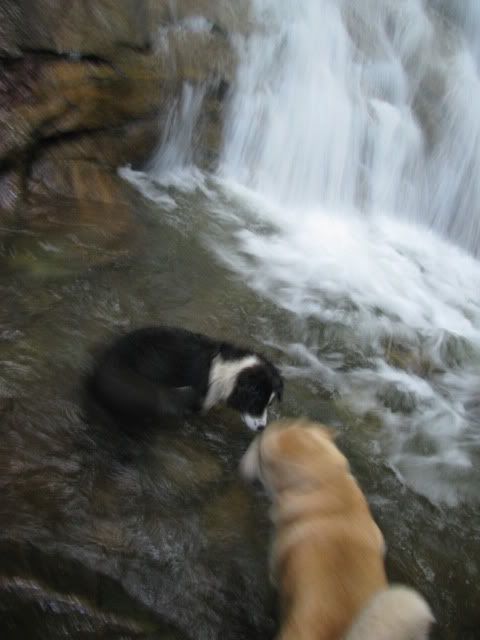
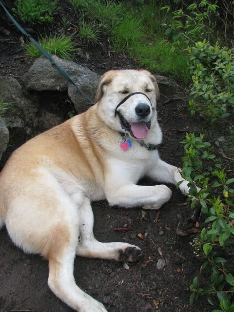
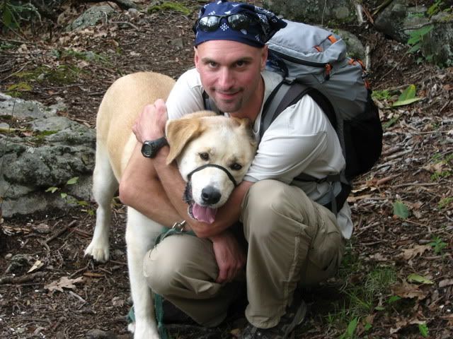
The dogs had fun while their daddy’s discussed very important business:
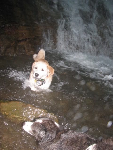
Duma pulled this beer can out of the falls that some local ruffians had left:
Tuesday, May 26, 2009
Cold Mountain Reprise
I’m tired and my legs hurt. I just asked the dog if he wanted to go for a walk: he grunted twice, sighed, looked at me and then rolled over and went back to sleep. It was that kind of weekend.
Sunday morning after Saturday’s rainy metric century I decided I had better take the dog for a walk. The neighborhood park is nice (it has a new skate park complete with a full sized kidney bean pool which I will have to tear to shreds soon, but I digress) but the national forest is nicer and seeing as how it was a long weekend I decided it was time to reprise the whole Cold Mountain thing. We did it on the coldest day of the year and that was pretty cool. No need to try and top that so I decided to park at Daniel Boone but take the round about way. Our route for the day was:
Little East Fork > Ivestor Gap > Old Butt Knob > ???? > Art Loeb > Cold Mountain > Art Loeb
Good for 15 or so miles in 8.5 hours. Things started off nicely from Daniel Boone where there was even a sign for the trail:
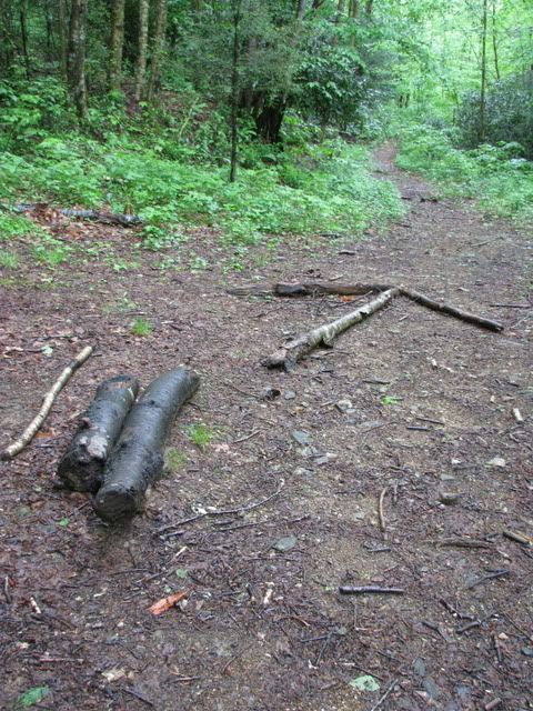
The first mile or so was a typical amazing Pisgah creekside trail. Beautiful beyond description. There was an old logging road off to right where someone had made this arrow indicating the way to go:
I had my compass and had been trying to use it but it kept telling me I was headed North when I knew that I was headed South. Which could only mean that my compass had reversed its polarity once again. So, I was resigned to try and use the thing reversed all day which can get tricky once you start getting tired. When I got home I checked the compass and found that it was indeed reversed. I played around with it and my money clip’s magnet for a little bit and found that with the right technique it is easy to reverse the polarity. So, I now no longer carry the money clip.
Anyway we worked our way up to Shining Rock Gap on some mind blowing single track:
From there we took the Old Butt Knob and then followed some of the unmapped side trails up to the top of Shining Rock:
The section of the Art Loeb up Stairs Mountain, Shining Rock Ledge and the Narrows is some of the best hiking you will find anywhere. The best ridge stretch of trail in the district. I was very impressed. By this time we were already five hours in and it was clear that I had seriously misjudged how much food and water I had. I had one pb&j left and decided to save it for when we stopped for water at the spring halfway up Cold Mtn. So we high tailed it across the ridge as fast as we could go. When we made it to Deep Gap I was tired and kept trying to think of an excuse to skip going to the top of Cold Mtn. But couldn’t think of anything so we pressed on to the top:
D-Man was tired:
There was nothing to see but fog so we shared a quick moment and then headed back down to the truck as fast as our legs could carry us.
Memorial Day Monday and I once again didn’t have a lot to do. I needed to go by and fix Dennis’s door and seeing as how he lives on Turkey Pen Rd. I decided to just park at the bottom and do a quick little Turkey Pen loop. It was still very rainy so I made a beeline for the top of Black.
Turkey Pen Rd. > South Mills River > Cantrell Creek > Horse Cover Gap > Squirrel Gap > South Mills River > Buckhorn Gap > Black Mtn. > Turkey Pen Gap
Not a bad way to spend a Monday afternoon. My camera only chose to work on the top of Black:
Saturday, May 23, 2009
70 mile Century
Here is the route he had proposed.
Pay careful attention to the stuff around mile 32. That isn’t road biking. That isn’t mountain biking. That is serious off road exploration. I don’t know how but we somehow managed to put it all together.
Things started innocently enough with nice easy spinning out in the country while gazing up at the mountains:
I remember David Cook saying that according to Cissy we would have a hike-a-bike to which Zach replied that a road was on the map. It was at that point that I started to wonder just what this ride in store for us but before I had time to ponder it long enough the pavement ended and we were climbing on loose gravel:
This went on entirely too long and then eventually the gravel ended. We had hit a dead end. Cook somehow found a thin ribbon of single track and we headed down it:
The single track lead to another gravel road and someone deduced it must be the right road. It was a deep cut but showed very little sign of recent use. It was clear nobody else had been up it all year. Eventually it lead to the ruins of some grand old thing. Maybe an inn or a lodge. There was a big foundation from a building long past, a barely standing barn and some sort of big cistern. By this point it had started raining and I was reminded of last week’s walk in the Middle Prong as the road gave way to double track, then single track, then barely anything. By this point we were teeth deep into a serious hike-a-bike up an unknown mountain in the rain. Just when it couldn’t get any worse it did and the trail took a sharp turn up a steep bank but once we pushed our way up it we were on Tryon Peak where all the antennas are.
One of the many good things about these artifacts is they need repair which meant there had to be some sort of road. Which there was but it was so steep and the gravel so loose that riding it was an impossibility at the best. So, after pushing our road bikes up one side of a mountain we walked down the other side. But nothing lasts and eventually we hit a gate and an awesome view of the fog:
After that we all decided to bail on the Big Ride and high tailed it down the mountain. The first descent was some of the steepest stuff I have ever seen and the rain really added to the sketch factor.
After that I really don’t remember a whole lot. We stopped at a store and then hightailed it back to Zach’s. I was tired and ready for it to end. Which, as predicted, it did and I was glad. Seventy of the hardest miles I’ve done in awhile. Thanks Zach!
Friday, May 22, 2009
Nothing But Flowers
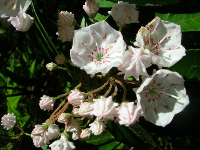
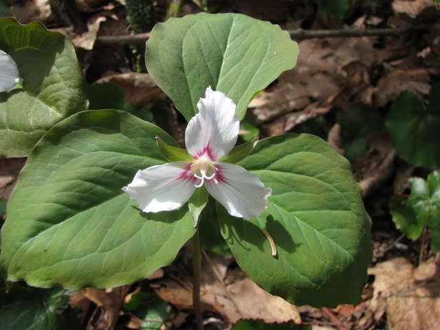
On the way over I noticed my rear wheel felt a little off so I stopped to add some air and then got sidetracked looking at the pretty flowers:
Later in the Fawn Lake parking lot I was showing off how I had perfectly trued my wheels to Zach when he happened to notice that a few of the spokes were so loose they were about to fall out. He was nice enough to tension and true it up for me.
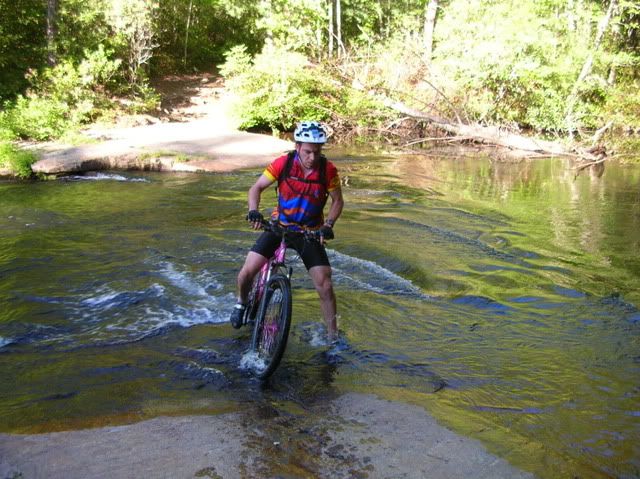
After that it was business as usual highlighted by my falling in the river. I hit hard and am bruised and sore right now and still haven’t made it across this year.
Here is Dennis almost making it:
Tuesday, May 19, 2009
The Middle Prong
“Sometimes it is necessary to go a long distance out of your way in order to come back a short distance correctly.” - Edward Albee, The Zoo Story
My first trip to Pisgah was a revelation. I will save the details of that first Pisgah ride for another time but it was that first trip that started my desire to explore all of the Pisgah district and see just where the trails could take me. It started out being all about the mountain bike but after moving here two years ago and having ridden all of the trails that are open to bikes many times my desire to explore Pisgah grew into a passion for hiking. Getting the dog only compounded matters.
So, this last weekend as I looked over my map trying to decide which trails to ride I decided to go for a little road ride on Saturday and then a big hike on Sunday. The road ride was just a little 40 miler down the Greenville Watershed and back home. It was good and I managed to dodge the rain which was an added plus.
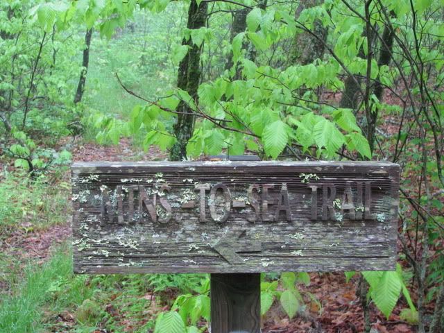
The hike was something I’d been looking at for awhile: The Middle Prong Wilderness. I’d wanted to do a big loop of Haywood Gap and Buckeye Gap and figured it was time. At six am on Sunday morning my alarm went off and I jumped out of bed and asked the dog if he wanted to go for a hike and we were off. By the time we hit the parkway it was so foggy visibility was switching back and forth between poor to treacherous and I wondered just what the woods had in store for us. We parked at Rough Butt Bald Overlook and headed to the Mountains to Sea trail:
From there we picked up the unsigned Haywood Gap Trail without a problem and quickly were into the wilderness:
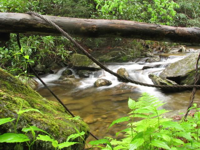
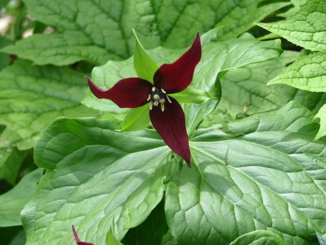
Haywood Gap was easy enough to navigate though the trail was very rugged and there was no mistaking that we were in one of the most remotes corners of Pisgah. A place where few people go and where you really need to be on top of your game. There is something very special about wilderness and as we worked our way down the stream side trail I marveled at the relics from the logging days and wondered how long until the forest laid full claim to the artifacts and left nothing but flowers:
I knew Buckeye Gap Trail would be on the right and also knew from the little information on the trail that I had found that the map was likely wrong and its location would be slightly off from what the map showed. But I planned on hiking the entire length of Haywood Gap and then turning around and coming back up Haywood to Buckeye so I paid careful attention on the trip down and noted where Buckeye likely started. By the time I got to Little Beartrap Branch it was clear that the map was far from perfect but I felt good about where Buckeye started. Little Beartrap:
On the return trip up Haywood I stopped for lunch at the big crossing of the Middle Prong and let Duma swim a little:
Shortly after we made our way back to where I think Buckeye intersected Haywood and we started climbing our way up from the river bank. There were water bars and other signs of trail work and my compass roughly matched the map (which I knew was wrong) and I felt confident that we were on Buckeye Gap. We climbed very steeply for awhile and eventually crossed over Grassy Ridge Branch at which point I felt that the trail matched the map. We stopped for a quick snack at this spot and then things suddenly changed:
After eating a granola bar and some dog treats we headed back up the trail expecting a sharp right turn to come soon but the trail quickly died out. I pushed through the brush a little bit thinking that maybe it was just hard to spot but couldn’t find anything. Then without warning the weather changed and a heavy fog set in. Visibility plummeted and it was hard to see Duma on the end of the leash much less try and find the trail. We double back to the spot where we had stopped for the snack and tried again but yet again what I thought was the trail soon died out. I used my compass but the bearings I was getting weren’t making sense. We should have been on a finger and headed East but it appeared that we were on a ridge and headed South which was all wrong.
Then the fog turned to rain and with it came heavy winds and thunder and lightning. I think the bulk of the storm was actually below us in elevation but we were very much in a tempest. I tried to stay calm and rational and kept using my compass to try and find the trail by heading out on a given bearing for 15 minutes and then returning to the snack spot by taking a back bearing. Eventually I deduced that we had somehow missed a turn on Buckeye and had ended up somewhere on Fork Ridge. I found some flagging tape that was obviously marking something and decided we would follow it. The tape led to an old extraction road or rail grade and we went down it for 15 minutes before I came to my senses and realized it was going to dump us on highway 215. Not wanted to bushwhack for a 1500′ descent only to have to hitchhike back to the truck I decided to return to the snack spot and then retrace our path back to Haywood Gap Trail and take the known route out of the woods.
Once we gained the ridge again I couldn’t find the spot. I’d been following the bearing but somehow it was no longer there. I was cold and frustrated and maybe a little concerned and just when I thought we might just be lost I found the spot. So we quickly headed back the way we had come. After 15 minutes I realized it wasn’t the way we had come at all and quickly headed right back to our snack spot. By this time I was very cold and knew I needed to stay calm and get warm and then make a good decision.
I always carry what I consider to be full survival gear and I started breaking into it. I put on my warm shirt and ate some more food. Duma looked at me hungrily and I shook the entire contents of his treat pouch onto the forest floor. By this point we had been wandering the ridge for two hours without getting anywhere and I knew it was time to go. Once Duma finished his treats he pushed his way through a few bushes and showed me the way back down to Haywood Gap. Within minutes it was clear it was the right trail and I was relieved. Good dog!
We made fast work of the return trip but it sure felt like even the snails were passing us:
In the end we were out there for 8 full hours and hiked at least 16 known miles. There is no telling how many miles we did while temporarily misplaced up on that ridge but I’d imagine 18-20 total is a real possibility. It was the closest thing to epic that I have experienced in a long time. Make no mistake the Middle Prong is the real deal and I can’t wait to go back and redeem myself. Fork Mountain will be haunting me in my dreams until I do.
I was very sore all day today. That is the first time a hike has left me sore so I went for a nice little recovery road ride after work. Davis Mtn. > Hebron > Finley Cove.
Friday, May 15, 2009
Recovery Road Ride
Thursday, May 14, 2009
The Drinking Club
Big group tonight for the drinking club. Eleven or twelve, plus the j.v. squad. Big group = big ride. I really need to ride more than once a week. Good stuff and to make it even better the camera decided to work sometimes.
Tuesday, May 12, 2009
Fat Tire Festival Weekend
After a slightly delayed start we started with a grueling fifty foot les mans start that had me leaping over 103 bikes to get to my own. I jumped on and it quickly became apparent that this would not be a single speed friendly event. Spin class started early with a slightly downhill gravel road where I had no choice but to let the lead guys break away. All I could do was hope that a climb was coming, preferably double track or gravel where I could stand and go and make up for the downhill start. The climb came but in the form of very narrow single track where I had no way of passing which made for frustrating single speeding. After that there were a few ups and downs and whenever I would get to the base of a climb geared riders would be hot on my tail and I would hear “on your right” “on your left” and they would go by me. But as soon as they would pass I would hear the ominous “CLICK” of their chain dropping into their granny gear which with no room to pass meant I was instantly bogged down. I reminded myself I wasn’t trying to win: all I wanted was a treasure cache and so I let them go.
I settled in to a comfortable pace that I could easily maintain for 18 miles and focused on picking up the hard to spot checkered flagging tape and looking for the treasure caches. I knew there were no more than 10 people in front of me and with 5 prizes at each cache it seemed certain I would get one. I was leading a pack of five or so and no matter how hard I pushed I couldn’t catch a glimpse of the lead pack. Odd, I thought. Then Wes Dickson politely passed me I wondered how he was behind me. When we got to Joanna Rd. I pulled aside and let the riders who had been behind me pass. I didn’t want a half dozen racers on my ass as I tried to descend the rocky slice of heaven that is Joanna on my fully rigid bike. After I got back on the trail I heard “on your right” to which I replied “go fast” then I heard “on your left”. My bike was bucking like a bull out of control and holding a ‘line’ was out of the question. The rider passed and I yelled out that perhaps he would have been better off to have waited 30 seconds to pass when it wasn’t quite so dangerous.
After that I was pretty much alone for the rest of the ride. I got to the aid station which was also a treasure cache and picked up my card and headed back out. It was hot and I was starting to feel bad but 18 miles isn’t much and I knew I could easily suffer through it. Eventually my chain started to drop. Once, then twice, then I stopped counting. After some unexpected short pushes I made my way to the finish after 2.5 or so hours.
After I finished I saw David Cook and he apologized for the pass on Joanna. Shit! I didn’t know it was him and had thought all the fast skilled guys were way in front. It turns out the lead pack had missed a turn and I had probably been leading up to when Wes passed me. I felt like crap for yelling at a friend but Cook is as good as they come and seemed to understand. I ended up sticking around for the trials and downhill so I could get my treasure prize and was cheering Cook on for the King of the Mountain title the whole time.
My treasure? A Fat Tire fest tshirt (too big), pair of socks, and a lightweight hammock. I’ve been curious to try a hammock so it was fate that I won it. I couldn’t be happier!
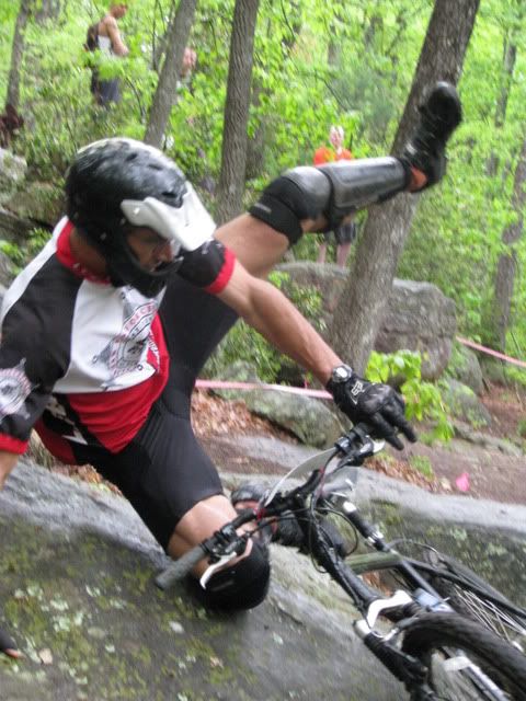
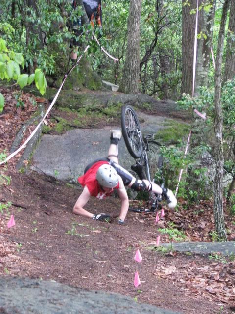
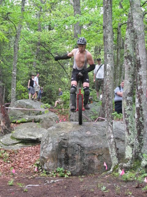
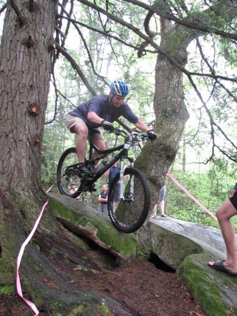
Here is Cook on the trials. Guess how this one ends:
He wasn’t the only one:
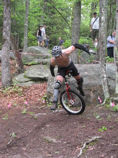
Gnarly air!:
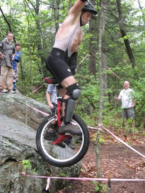
Unicycling seems like cheating. One wheel advantage?:
King of the Mountain:
Not only for the guys:
Sunday I headed out for a hike with Terri and the dog. Our route from Mount Pisgah:
Mountains to Sea > Laurel Mtn. > Connector > Pilot Rock > Mountains to Sea
It is amazing how much easier it is to hike those trails while not pushing a mountain bike! It was a good hike and a nice way to spend a Sunday afternoon.
Friday, May 8, 2009
Lost Dog
Somehow Buddy managed to break away from his leash and was a good 45 minutes behind us getting back to the parking lot. A preliminary search party had already been out looking for him along with some quality whistle blowing but there was no sign of the mangy mutt. With daylight fading Rob was getting his lights out to mount a true search and rescue mission when Buddy finally came down off Mine Mtn. He looked tired.
Tuesday, May 5, 2009
PMBAR Race Report
As I crested the top of Hickory Knob for the second time of the day a version of the Rolling Stones Loving Cup came on my ipod. The first line, “I’m the man on the mountain, come on up” seemed more than fitting and as the day in the saddle came to an end I couldn’t help but sing along to the chorus tried my hardest to hold on on the trip down Black mtn. What a beautiful buzz!
The day had started just as all pmbrs seem to start. After spending Friday night attempting to get my gear together and take care of needed bike repairs I was tired before the start . Combine that with the slight anxiety that comes with race morning and all the plans I thought we had changed suddenly. We had planned on taking our time at the start and looking at the map but at the last minute we decided to do the opposite and take off straight up Black Mtn. without looking at the passport. We knew we were probably headed for Turkey Pen Gap trail and if so we wanted to be near the front of the conga line of riders on the way up and down to the many gaps.
I made it a point to walk all the steep stuff on the way up Black and at the first opportunity pulled out the map and took a look at the checkpoints: S. Mills & Bradley, Squirrel & Cantrell, Laurel & Pilot, Middle of 5000, and the End of 225. They didn’t look that bad. Going in to the race my goal was to get all five checkpoints and make it back down Black by 10pm. Where we fell in the the standings was irrelevant. I wanted five and Toby was game. We had way more than enough calories, were carrying our good lights and were determined to get all five. After taking that initial glimpse at the map I began to process our options. The way I saw it we had two major choices: Black > Turkey Pen and all the checkpoints counter clockwise or Black > Maxwell and all the checkpoints clockwise. The former was the obvious choice – you get the two mandatory checkpoints first and then just pick off the other three systematically and have the option of going for the safe bet and skipping the 225cp at the end. A two hour time bonus for the 5th checkpoint wasn’t a lot. Either ride, 5000 or 225 would take fast riders over an hour. By going for five you would only be gaining 30 minutes at the most and the added mileage could easily cost you a lot more. The second option was the least likely. By getting 225 first we would be getting the two mandatory last and be committed to getting all five from the start. We went with the least likely option and headed down Maxwell Cove Rd. all alone.
Most people had gone up Black to Turkey Pen and during the long gravel spin out to 225 we didn’t see another racer. With everyone else going the opposite way it meant that it would be impossible to try and gage how we were doing compared to other riders. Being all alone in a race can really mess with you and it was on the trip to Pilot Rock that I began to wonder if we picked the wrong direction. But there was nothing we could do about it at that point and second guessing wasn’t going to get us the four more checkpoints we needed.
At the bottom of Pilot rock we heard voices so we went off to catch them. It was Zach and Dennis and we chatted for a bit before they pushed on ahead of us. They were going for four and after the Pilot hike-a-bike all that stood between them and the finish was a lot of gravel. I told them to save us some beer and they took off up Pilot ahead of us. Soon after a team caught up with us. The guy in front actually rode most of Pilot – I was impressed with his effort but really wondered if it was worth all that effort.
I normally don’t like the Laurel descent all that much but with the forest alive with the colors of spring it was one of the highlights of the day. There were lots of riders coming up Laurel and I realized that they were the lead packs and had all already been to 5000 and were about to get their fourth cp. Oh, well. At Yellow Gap there were 3-4 teams standing around looking very dazed. The race was already taking casualties.
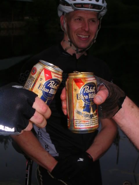
We made fast work of the trip to 5000 and back. I was wondering just how far up the road it was going to be and was happy to see it was at Bad Fork. Even better was when the volunteer had a couple of ice cold PBR’s for us. Beer has never tasted so good! The carbs were just what we needed for the climb back up and we made it to Yellow Gap in just 40 minutes or so. Then when we dropped down 5015 to get our last two checkpoints my hands started to really hurt and I was reminded that the toughest miles of the day still lay ahead of us. The beer had given Toby strength and he seemed to be gaining power with every pedal stroke. Luckily the ride to the S. Mills cp was mainly downhill and I didn’t have to worry about climbing again until we headed up Mullinax. Toby took off in front and I just kept moving forward. A caffeine gel gave me a little energy and I made it to Cantrell and our fifth and final checkpoint without any real problems. David Maida was there and we chatted a little bit as we took our longest break of the day. We filled up our water, shared a flask of celebratory whiskey and were on our way in less than 10 minutes.
Squirrel was mostly downhill after from there and during the final descent down to Wolf Ford I was riding full speed when my front wheel washed out from underneath me without a warning. I went down fast and hard. It knocked the wind out of me and I had to take a minute to make sure I wasn’t hurt. My right quad had landed sharply on a rock or something but there seemed to be no serious injury. A brake lever was bent and a gel exploded in my shorts but that was the extent of the damage so I got right back on and headed for the river.
The climb up to Buckhorn gap seems to be at a very good grade for single speeding and we climbed up it as fast as we could. As we rolled through the gap there was a team laying there in the grass. I think our rinding through prompted them to action and they jumped up on their bikes and took off down Clawhammer after us. My hands were really hurting and there was no way I had the strength to hold on hard enough to ride the speed it would require to hold them back. I asked how many checkpoint they had gotten and when they said four I didn’t think twice about falling back. Shortly into the Maxwell climb we caught them and then quickly dropped them as we climbed our final mountain of the day. We caught another team during the brief hike-a-bike to the top of Hickory Knob. My hands have never hurt as bad as they did on the final Black mountain downhill. I was barely hanging on and was surprised when I was able to hold back the two guys we had passed on the way up Hickory Knob. And just like that it was over.
Someone took my bike and pointed me to the beer and burritos and all was good in the world! I ended up winning a pair of cane creek bar ends. I’d been dreaming out how nice it would be to own such things ever since the spin back from 225. Serendipity. What a beautiful buzz indeed!
Our route for the day:
Black Mtn. > Maxwell Cove Rd. > Claw hammer Rd. > 477 > 276 > 475B > 225 > CP#1 > 225 > 475B > 276 > 1206 > Pilot Rock > Laurel Mtn. CP#2 > 1206 > 5000 > CP#3 > 5000 > 1206 > 5015 > Bradley Creek > South Mills River > CP#4 > Mullinax > Squirrel Gap CP#5 > South Mills River > Buckhorn Gap > Clawhammer Rd. > Maxwell Cove Rd. > Black Mtn.















No comments:
Post a Comment